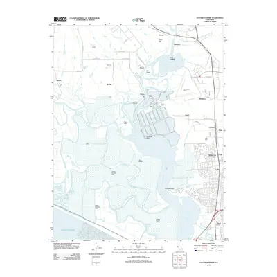
2012 Map of Cuttings Wharf
USGS Topo · Published 2012About this map
The Napa River winds through a complex network of sloughs and tidal marshes as it approaches the San Pablo Bay, defining a landscape shaped by both nature and industry. In this 2012 survey, the river is flanked by numerous named islands and landings, including Edgerley Island, Knight Island, and the waterfront activity at Cuttings Wharf. The eastern portion of the map shows the transition into the residential and commercial corridors of American Canyon, where suburban developments like Flosden Acres meet the transport hub of Napa Junction.
Find a feature on this map
79 named features on this map. Tap any name to fly to it.
Don’t see what you’re looking for? This feature index may not catch every label — zoom into the map to look around manually.
Map Details
Editions of this 2012 Cuttings Wharf Map
This is the sole edition of this map. No revisions or reprints were ever made.
Other maps of this area

1896 · Carquinez Strait
USGS Topo · 1:62,500

1898 · Karquines
USGS Topo · 1:62,500

1901 · Karquines
USGS Topo · 1:62,500

1902 · Napa
USGS Topo · 1:125,000

1916 · Mare Island
USGS Topo · 1:62,500

1921 · Mt. Vaca
USGS Topo · 1:62,500

1940 · Carquinez Strait
USGS Topo · 1:62,500

1942 · Mare Island
USGS Topo · 1:62,500

1942 · Carquinez
USGS Topo · 1:62,500

1942 · Sonoma
USGS Topo · 1:62,500