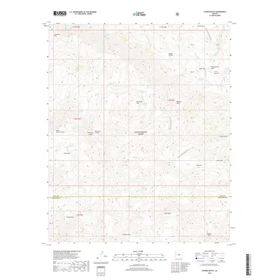
2018 Map of Cypress Butte
USGS Topo · Published 2018About this map
Tonto National Forest lands dominate this central Arizona landscape, centered on the boundary between Gila and Yavapai counties. The terrain is defined by a series of prominent elevated features including Polles Mesa, Bull Spring Mesa, and Upper Racetrack Mesa, separated by deep drainage systems like Bull-Spring Canyon and Red Metal Canyon. The Arizona National Scenic Trail winds through the eastern portion of the map, tracing a path through a territory marked by isolated water sources such as Bullfrog Spring and Childers Seep. Significant topographical landmarks like Cypress Butte and Knob Mtn rise above the complex network of basins and hollows. The presence of numerous tanks and springs, including Red-Metal Tank and Clover Spring, underscores the critical importance of water management in this arid environment, where the E Verde River serves as a primary hydrological feature.
Find a feature on this map
41 named features on this map. Tap any name to fly to it.
Don’t see what you’re looking for? This feature index may not catch every label — zoom into the map to look around manually.
Map Details
Editions of this 2018 Cypress Butte Map
This is the sole edition of this map. No revisions or reprints were ever made.
Other maps of this area

1887 · Verde
USGS Topo · 1:250,000

1892 · Verde
USGS Topo · 1:250,000

1929 · Turret Peak
USGS Topo · 1:125,000

1933 · Turret Peak
USGS Topo · 1:125,000

1934 · Pine
USGS Topo · 1:62,500

1936 · Payson
USGS Topo · 1:48,000

1940 · Pine
USGS Topo · 1:62,500

1942 · Payson
USGS Topo · 1:62,500

1952 · Pine
USGS Topo · 1:62,500

1954 · Holbrook
USGS Topo · 1:250,000