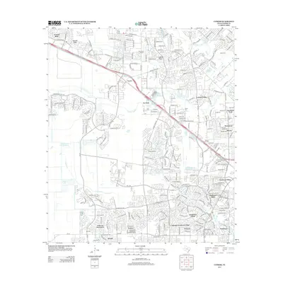
2013 Map of Cypress
USGS Topo · Published 2013About this map
Cypress serves as the focal point of this Harris County landscape, which by 2013 had transformed into a complex network of residential villages and suburban communities. The map detail highlights the expansion of the NW Fwy corridor, which bifurcates the area near Hot Wells and the historic Muller Cem. The drainage patterns of Cypress Cr and its tributaries, including Little Cypress Cr and Horsepen Creek, dictate the layout of various developments like Enchanted Valley and Northmead Village.
Find a feature on this map
39 named features on this map. Tap any name to fly to it.
Don’t see what you’re looking for? This feature index may not catch every label — zoom into the map to look around manually.
Map Details
Editions of this 2013 Cypress Map
This is the sole edition of this map. No revisions or reprints were ever made.
Other maps of this area

1915 · Cypress
USGS Topo · 1:24,000

1915 · Katy
USGS Topo · 1:24,000

1915 · Addicks
USGS Topo · 1:24,000

1915 · Hillendahl
USGS Topo · 1:24,000

1916 · Rose Hill
USGS Topo · 1:24,000

1916 · Louetta
USGS Topo · 1:24,000

1916 · Hockley
USGS Topo · 1:24,000

1916 · Satsuma
USGS Topo · 1:24,000

1916 · Swanson
USGS Topo · 1:24,000

1918 · Cypress
USGS Topo · 1:31,680