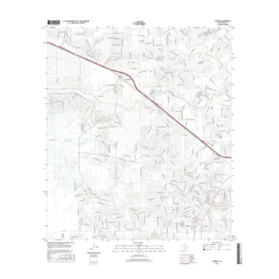
2016 Map of Cypress
USGS Topo · Published 2016About this map
Cypress serves as the focal point of this 2016 survey, sitting at the intersection of major transport corridors and water systems in Harris County. The landscape is defined by the drainage networks of Cypress Cr and its tributaries, including Little Cypress Cr and Horsepen Cr, which wind through expanding residential developments. Aviation infrastructure is prominent with Dry Creek Airport in the north and Weiser Air Park near the eastern boundary, reflecting the region's historical and modern aerial connectivity.
Find a feature on this map
28 named features on this map. Tap any name to fly to it.
Don’t see what you’re looking for? This feature index may not catch every label — zoom into the map to look around manually.
Map Details
Editions of this 2016 Cypress Map
This is the sole edition of this map. No revisions or reprints were ever made.
Other maps of this area

1915 · Cypress
USGS Topo · 1:24,000

1915 · Katy
USGS Topo · 1:24,000

1915 · Addicks
USGS Topo · 1:24,000

1915 · Hillendahl
USGS Topo · 1:24,000

1916 · Rose Hill
USGS Topo · 1:24,000

1916 · Louetta
USGS Topo · 1:24,000

1916 · Hockley
USGS Topo · 1:24,000

1916 · Satsuma
USGS Topo · 1:24,000

1916 · Swanson
USGS Topo · 1:24,000

1918 · Cypress
USGS Topo · 1:31,680