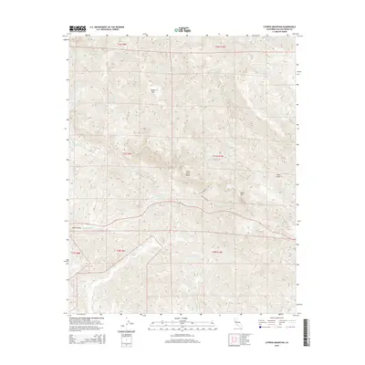
2015 Map of Cypress Mountain
USGS Topo · Published 2015About this map
Cypress Mtn and Black Mtn anchor this high-relief portion of the Santa Lucia Range, where the watershed breaks into numerous creeks flowing toward the Pacific. The terrain is defined by steep ridges and deep drainages, including the prominent Dover Canyon and the valley of Green Valley Cr. Settlement is sparse, focused primarily in the lowlands of Green Valley where the topography softens. Local transportation is limited to a few specialized routes such as Arroyo Del Mar and Via La Montanita, reflecting the difficulty of the landscape. Water sources are abundant, with named features like Villa Cr, Santa Rosa Cr, and Las Tablas Cr carving distinct paths through the mountains. This map captures the natural complexity of the coastal range before the intensification of modern development, preserving the original place names of these canyons and summits.
Find a feature on this map
25 named features on this map. Tap any name to fly to it.
Don’t see what you’re looking for? This feature index may not catch every label — zoom into the map to look around manually.
Map Details
Editions of this 2015 Cypress Mountain Map
This is the sole edition of this map. No revisions or reprints were ever made.
Other maps of this area

1897 · Cayucos
USGS Topo · 1:62,500

1900 · San Luis
USGS Topo · 1:125,000

1919 · Adelaida
USGS Topo · 1:62,500

1919 · San Simeon
USGS Topo · 1:62,500

1932 · Adelaida
USGS Topo · 1:62,500

1937 · Cayucos
USGS Topo · 1:62,500

1937 · San Simeon
USGS Topo · 1:62,500

1942 · Adelaida
USGS Topo · 1:62,500

1943 · Cayucos
USGS Topo · 1:62,500

1947 · San Luis Obispo
USGS Topo · 1:250,000