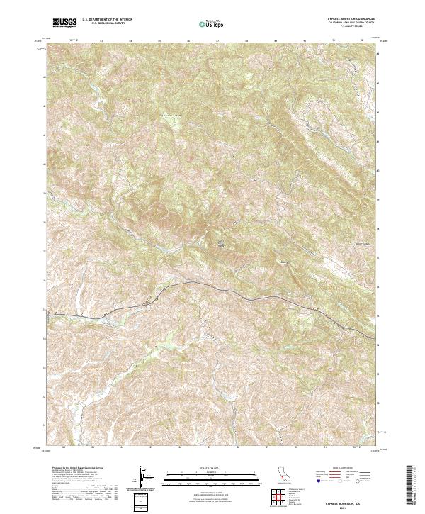
2021 Map of Cypress Mountain
USGS Topo · Published 2021About this map
The Santa Lucia Range dominates this portion of San Luis Obispo County, defined by its high ridges and the deep drainage basins of the central California coast. The landscape is anchored by Cypress Mtn and Black Mtn, two prominent peaks that overlook a network of seasonal and perennial streams. Waterways such as Villa Cr, Cayucos Cr, and Santa Rosa Cr flow through these coastal hills, carving narrow valleys that have long dictated the path of local travel.
Find a feature on this map
36 named features on this map. Tap any name to fly to it.
Don’t see what you’re looking for? This feature index may not catch every label — zoom into the map to look around manually.
Map Details
Editions of this 2021 Cypress Mountain Map
This is the sole edition of this map. No revisions or reprints were ever made.
Other maps of this area

1897 · Cayucos
USGS Topo · 1:62,500

1900 · San Luis
USGS Topo · 1:125,000

1919 · Adelaida
USGS Topo · 1:62,500

1919 · San Simeon
USGS Topo · 1:62,500

1932 · Adelaida
USGS Topo · 1:62,500

1937 · Cayucos
USGS Topo · 1:62,500

1937 · San Simeon
USGS Topo · 1:62,500

1942 · Adelaida
USGS Topo · 1:62,500

1943 · Cayucos
USGS Topo · 1:62,500

1947 · San Luis Obispo
USGS Topo · 1:250,000