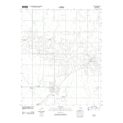
2022 Map of Cyril
USGS Topo · Published 2022About this map
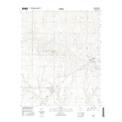
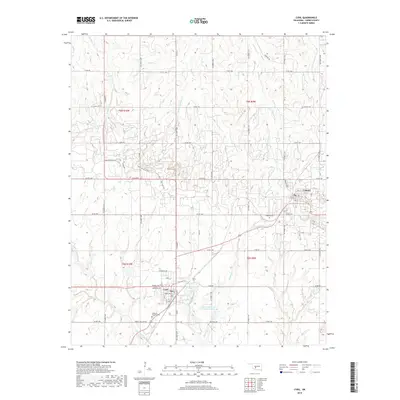
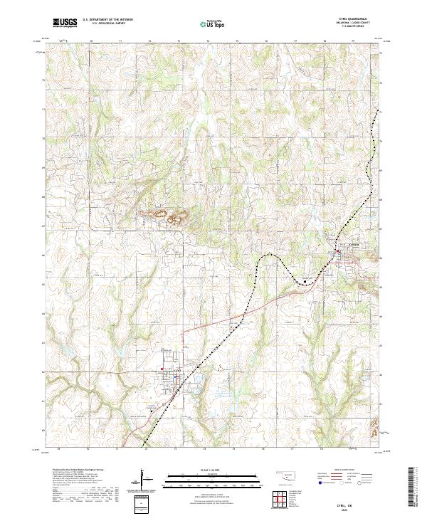
The town of Cyril anchors the southern portion of this landscape in Caddo County, situated along State Hwy 19 where the street grid includes locally named thoroughfares like Wyoming Ave and Nebraska Ave. To the east, the community of Cement occupies a rise near the headwaters of McCoy Cr and W Bills Cr. The area is defined by its watershed patterns, notably the Little Washita River and the Little Washita Cr Site 49 Reservoir to the south, while numerous branches of Delaware Cr carve through the north. Genealogists will find the Cement Cem and Celestial Gardens Cem documented alongside family-named rural routes such as Ware & Hollarn Rd and Whitfield Rd, reflecting the long-standing agricultural and residential footprint of this Oklahoma region.
Find a feature on this map
40 named features on this map. Tap any name to fly to it.
Don’t see what you’re looking for? This feature index may not catch every label — zoom into the map to look around manually.
Map Details
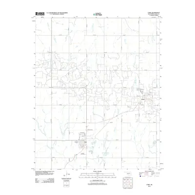
Editions of this 2022 Cyril Map
This is the sole edition of this map. No revisions or reprints were ever made.
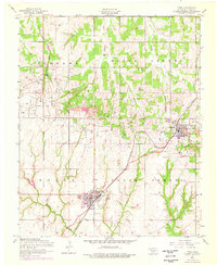
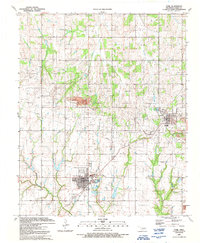
Historical Maps of Cyril Through Time
7 maps found