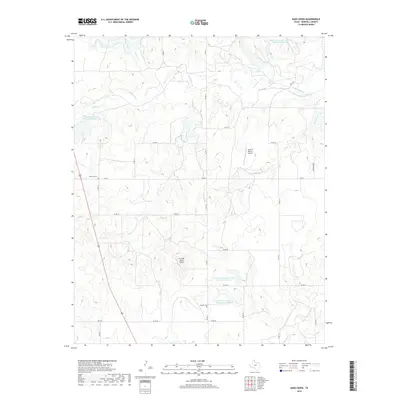
2019 Map of Dads Creek
USGS Topo · Published 2019About this map
The Washita River winds through this Panhandle landscape, where the confluence of several tributaries like Dads Cr and Threemile Cr defines the local topography. Evidence of modern land management is prominent throughout the region, characterized by several artificial basins including the Soil Conservation Service Site 12 Reservoir and the twin reservoirs of Site 23a and Site 23b. For those tracing family ties to Hemphill County, the map provides precise locations for both the Washita Cem and Gageby Cem. The settlement of Fillingim and private airstrips like the Split B Ranch Airport and En Gedi Ranch Airport reflect a modern ranching economy integrated with high-elevation plains navigation.
Find a feature on this map
34 named features on this map. Tap any name to fly to it.
Don’t see what you’re looking for? This feature index may not catch every label — zoom into the map to look around manually.
Map Details
Editions of this 2019 Dads Creek Map
This is the sole edition of this map. No revisions or reprints were ever made.
Other maps of this area

1954 · Amarillo
USGS Topo · 1:250,000

1958 · Amarillo
USGS Topo · 1:250,000

1963 · Briscoe
USGS Topo · 1:24,000

1963 · Allison SW
USGS Topo · 1:24,000

1963 · Mobeetie
USGS Topo · 1:24,000

1967 · Mendota
USGS Topo · 1:24,000

1967 · Dads Creek
USGS Topo · 1:24,000

1967 · Lake June
USGS Topo · 1:24,000

1967 · Young Ranch
USGS Topo · 1:24,000

1967 · Blue Ridge School
USGS Topo · 1:24,000