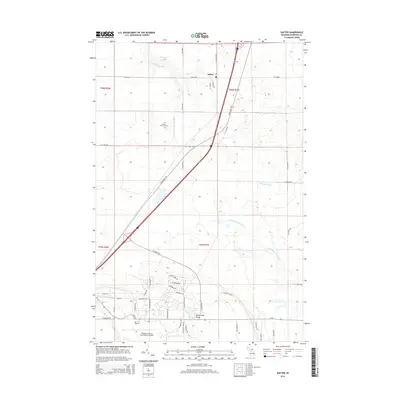
2014 Map of Dafter
USGS Topo · Published 2014About this map
Dafter sits at the intersection of S Mackinac Trl and Dafter Rd, serving as a central point for this section of the eastern Upper Peninsula. The landscape is defined by its transition from agricultural and timbered lands to specialized infrastructure, most notably the Chippewa County International Airport in the south and the Industrial Park Dr corridor. Waterways like the Charlotte River and Little Munuscong River wind through the township, while the S Br E Br Waiska River flows near the Dafter Township Cem. Residential developments are clustered near Dukes Lake Beach, showing the area's mix of local industry and recreational land use. This 2014 survey documents the modern layout of these historic rural roads and the expansion of the regional transportation network.
Find a feature on this map
50 named features on this map. Tap any name to fly to it.
Don’t see what you’re looking for? This feature index may not catch every label — zoom into the map to look around manually.
Map Details
Editions of this 2014 Dafter Map
This is the sole edition of this map. No revisions or reprints were ever made.
Other maps of this area

1913 · Sault Sainte Marie
USGS Topo · 1:62,500

1941 · Sault Sainte Marie
USGS Topo · 1:63,360

1941 · Brimley
USGS Topo · 1:63,360

1951 · Shallows
USGS Topo · 1:24,000

1951 · Kinross
USGS Topo · 1:24,000

1951 · Dafter
USGS Topo · 1:24,000

1951 · Barbeau
USGS Topo · 1:24,000

1951 · Brimley
USGS Topo · 1:62,500

1951 · Sault Ste. Marie
USGS Topo · 1:62,500

1951 · Brimley
USGS Topo · 1:24,000