Loading...
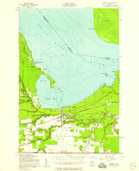
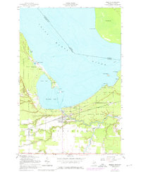
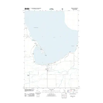
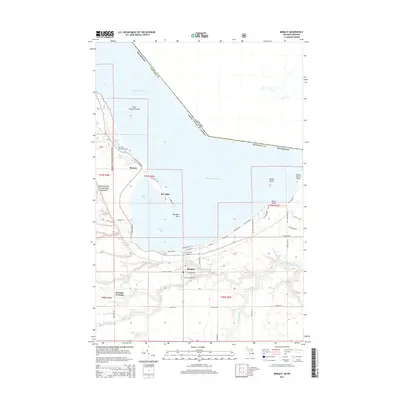
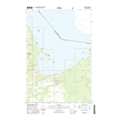
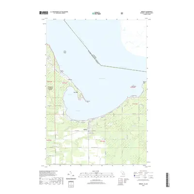
Loading map...1951 Map of Brimley
USGS Topo · Published 1958About this map
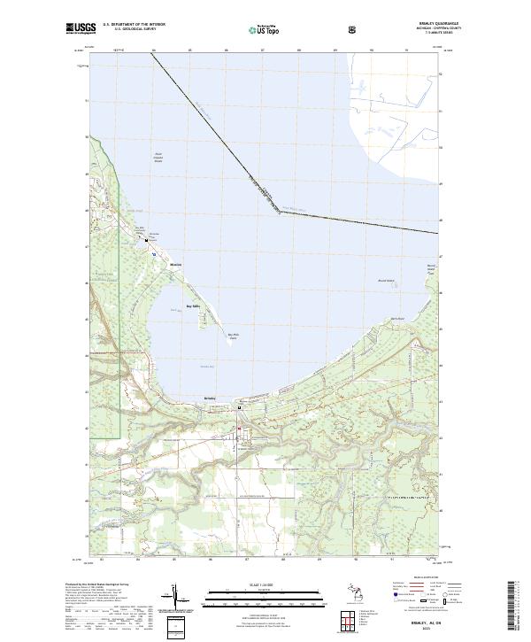
The Saint Marys River serves as a prominent international boundary between Michigan and Ontario in this mid-century survey. Along the southern shore of Waiska Bay, the community of Brimley marks a focal point where the Duluth South Shore and Atlantic railroad crosses the Waiska River. The area reflects a deep history of education and faith, evidenced by the Superior High Sch and multiple missions including Indian Mission Ch, St Catherines Ch, and Hiawatha Mission.
Find a feature on this map
41 named features on this map. Tap any name to fly to it.
Don’t see what you’re looking for? This feature index may not catch every label — zoom into the map to look around manually.
Map Details
Date Portrayed1951
Date Published1958
PublisherU.S. Geological Survey
Map TypeTopographic
Scale1:24,000
Physical Dimensions21.9 x 26.9 inches
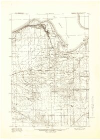
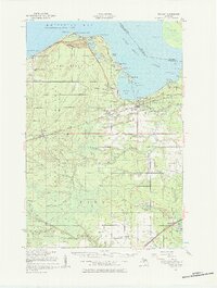
Editions of this 1951 Brimley Map
2 editions found
Historical Maps of Bay Mills Township Through Time
8 maps found
Featured Locations
- Bay Mills Township, MI
- Brimley, Superior Township
- Dorgans Crossing, Superior Township
- Bay Mills, Bay Mills Township
Source Details
SourceU.S. Geological Survey
CopyrightPublic Domain