
1951 Map of Raco
USGS Topo · Published 1955About this map
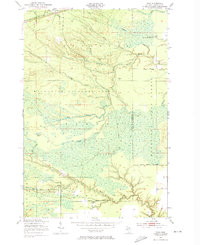
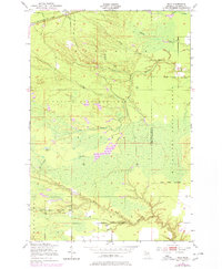
Raco and the Raco Ranger Sta anchor the northern reaches of this mid-century survey, where the Duluth South Shore and Atlantic railroad cuts through the heavy timberlands of the Upper Peninsula. The landscape is defined by its complex hydrology and forest management, situated at the intersection of the Marquette National Forest and Munuscong State Forest. Waterways like the Waiska River and the North Pine River snake through the terrain, punctuated by features like Delirium Pond and Squirrel Tail Inn. The presence of Camp Dearborn and various small creeks, such as McMahen Creek and Horseshoe Creek, suggests a period when this part of Chippewa County was primarily used for logging, forestry administration, and seasonal recreation. This 1951 field-checked map provides a precise record of the road and rail infrastructure that supported the remote settlements of Kinross and the surrounding woodlands.
Find a feature on this map
26 named features on this map. Tap any name to fly to it.
Don’t see what you’re looking for? This feature index may not catch every label — zoom into the map to look around manually.
Map Details
Editions of this 1951 Raco Map
3 editions found
Other maps of this area

1941 · Strongs
USGS Topo · 1:63,360

1941 · Brimley
USGS Topo · 1:63,360

1951 · Pendills Lake
USGS Topo · 1:24,000

1951 · Dollar Settlement
USGS Topo · 1:24,000

1951 · Sullivan Creek
USGS Topo · 1:24,000

1951 · Kinross
USGS Topo · 1:24,000

1951 · Brimley
USGS Topo · 1:62,500

1951 · Strongs
USGS Topo · 1:62,500

1951 · Brimley
USGS Topo · 1:24,000
1953 · Rudyard
USGS Topo · 1:24,000
Featured Places
- Trout Lake Township, MI
- Superior Township, MI
- Rudyard Township, MI
- Kinross Township, MI
- Chippewa County, MI