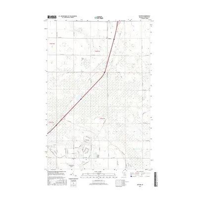
2017 Map of Dafter
USGS Topo · Published 2017About this map
Dafter serves as the focal point of this Eastern Upper Peninsula landscape, situated near the intersection of major regional transit corridors. The topography is defined by the drainage patterns of several small waterways, including the S Br E Br Waiska River in the north and the Little Munuscong River to the southeast. To the south, the Chippewa County International Airport occupies a significant portion of the area, bordered by a dense network of residential streets such as Kincheloe Drive and Evergreen Drive. Local history is anchored by the Dafter Township Cemetery, while recreational landmarks like Dukes Lake Beach and Riordan Lake illustrate the area's integration of natural water features and community spaces. This layout reflects a transition from traditional agricultural and forestry lands toward more formalized infrastructure and suburban-style development in the latter half of the twentieth century.
Find a feature on this map
59 named features on this map. Tap any name to fly to it.
Don’t see what you’re looking for? This feature index may not catch every label — zoom into the map to look around manually.
Map Details
Editions of this 2017 Dafter Map
This is the sole edition of this map. No revisions or reprints were ever made.
Other maps of this area

1913 · Sault Sainte Marie
USGS Topo · 1:62,500

1941 · Sault Sainte Marie
USGS Topo · 1:63,360

1941 · Brimley
USGS Topo · 1:63,360

1951 · Shallows
USGS Topo · 1:24,000

1951 · Kinross
USGS Topo · 1:24,000

1951 · Dafter
USGS Topo · 1:24,000

1951 · Barbeau
USGS Topo · 1:24,000

1951 · Brimley
USGS Topo · 1:62,500

1951 · Sault Ste. Marie
USGS Topo · 1:62,500

1951 · Brimley
USGS Topo · 1:24,000