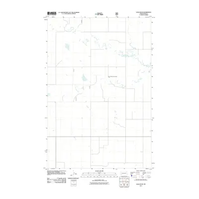
2011 Map of Daglum SE
USGS Topo · Published 2011About this map
Cannonball River meanders through this section of Slope County, defining a landscape of sparse watercourses and vast open country in southwestern North Dakota. The northern portion of the quadrangle is marked by Philbrick Creek, which flows southeastward before reaching the river. One of the few man-made landmarks in this primarily agricultural region is the Dovre Municipal Landing Field, a remote airstrip that underscores the geographic scale of the High Plains. The map's grid of section lines and local roads reflects the systematic land divisions typical of this part of the state, where early homesteading and ranching patterns remain visible through the modern road network.
Find a feature on this map
3 named features on this map. Tap any name to fly to it.
Don’t see what you’re looking for? This feature index may not catch every label — zoom into the map to look around manually.
Map Details
Editions of this 2011 Daglum SE Map
This is the sole edition of this map. No revisions or reprints were ever made.
Other maps of this area

1953 · Dickinson
USGS Topo · 1:250,000

1957 · Dickinson
USGS Topo · 1:250,000

1961 · Daglum
USGS Topo · 1:62,500

1973 · White Lake
USGS Topo · 1:24,000

1973 · New England NW
USGS Topo · 1:24,000

1973 · West Rainy Butte
USGS Topo · 1:24,000

1973 · East Rainy Butte
USGS Topo · 1:24,000

1973 · New England SW
USGS Topo · 1:24,000

1980 · Belfield
USGS Topo · 1:100,000

1980 · Mott
USGS Topo · 1:100,000