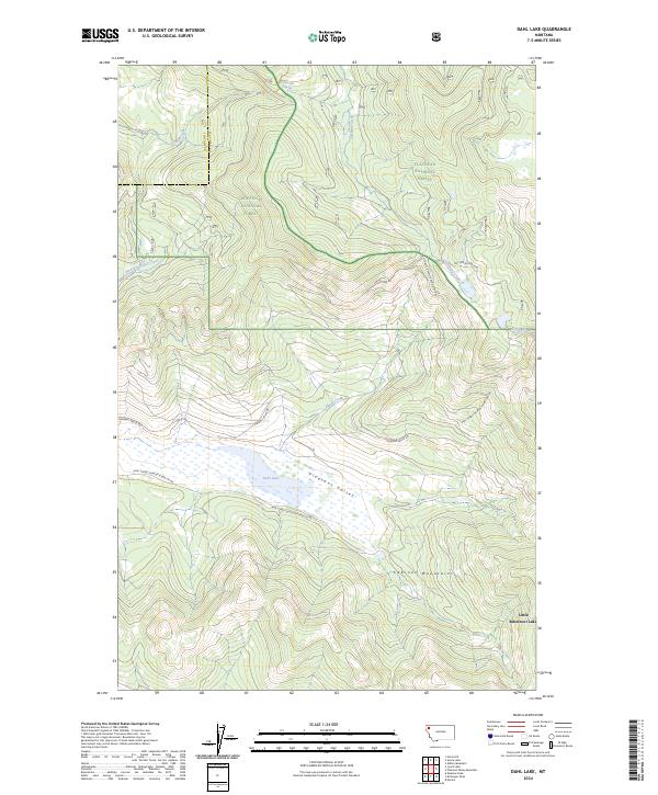
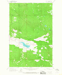
2024 Map of Dahl Lake
USGS Topo · Published 2024About this map
Lost Trail National Wildlife Refuge anchors this remote landscape where the Cabinet Mountains meet the waters of Dahl Lake. The terrain is defined by the broad expanse of Pleasant Valley, which serves as a corridor for Pleasant Valley Rd as it moves through the drainage. This 2024 map documents the boundary between Flathead National Forest and Kootenai National Forest, highlighting a transition in forest management and conservation.
Find a feature on this map
25 named features on this map. Tap any name to fly to it.
Don’t see what you’re looking for? This feature index may not catch every label — zoom into the map to look around manually.
Map Details
Editions of this 2024 Dahl Lake Map
This is the sole edition of this map. No revisions or reprints were ever made.
Other maps of this area

1957 · Kalispell
USGS Topo · 1:250,000

1960 · Kalispell
USGS Topo · 1:250,000

1961 · Kalispell
USGS Topo · 1:250,000

1962 · Ashley Mountain
USGS Topo · 1:24,000

1963 · Sylvia Lake
USGS Topo · 1:24,000
1963 · Horse Hill
USGS Topo · 1:24,000

1964 · Meadow Peak
USGS Topo · 1:24,000
1964 · Pleasant Valley Mountain
USGS Topo · 1:24,000
1964 · Marion
USGS Topo · 1:24,000
1964 · Dahl Lake
USGS Topo · 1:24,000