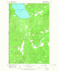
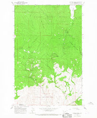
1964 Map of Marion
USGS Topo · Published 1967About this map
Marion stands as the primary settlement on this mid-1960s survey, situated just east of the expansive Little Bitterroot Lake. The landscape is defined by the sharp transition from the open waters and northern timberlands of the Flathead National Forest to the winding course of the Little Bitterroot River. Resource extraction is evident through several Gravel Pits concentrated near the town and along the main thoroughfares, while the southern reaches of the map transition into the Flathead Indian Reservation. To the west, the Lower Lost Prairie Road and various Pack Trails navigate the uneven terrain between Skookum Lake and Hidden Lakes. The presence of Moore Springs and Granger Meadow suggests a history of livestock grazing and seasonal water management in the valley below the surrounding peaks.
Find a feature on this map
17 named features on this map. Tap any name to fly to it.
Don’t see what you’re looking for? This feature index may not catch every label — zoom into the map to look around manually.
Map Details
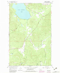
Editions of this 1964 Marion Map
2 editions found
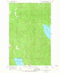
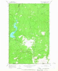
Other maps of this area

1956 · Wallace
USGS Topo · 1:250,000

1957 · Kalispell
USGS Topo · 1:250,000

1960 · Kalispell
USGS Topo · 1:250,000

1960 · Wallace
USGS Topo · 1:250,000

1961 · Kalispell
USGS Topo · 1:250,000
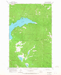
1964 · Lone Lake
USGS Topo · 1:24,000
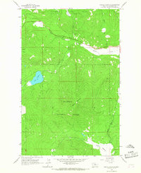
1964 · Haskill Mountain
USGS Topo · 1:24,000
1964 · Kofford Ridge
USGS Topo · 1:24,000
1964 · Pleasant Valley Mountain
USGS Topo · 1:24,000
1964 · Hubbart Reservoir
USGS Topo · 1:24,000