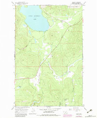
1964 Map of Marion
USGS Topo · Published 1983About this map
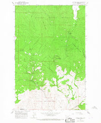
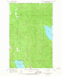
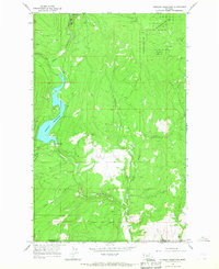
Little Bitterroot Lake dominates the northern landscape of this western Montana quadrangle, with the settlement of Marion positioned near its northeastern shore. The terrain is characterized by a network of drainage systems, including the southward-flowing Little Bitterroot River and its tributaries like Sickler Creek. The eastern half of the map is defined by the protected lands of the Flathead National Forest, where high-elevation features like Granger Meadow and Granger Creek are located.
Find a feature on this map
18 named features on this map. Tap any name to fly to it.
Don’t see what you’re looking for? This feature index may not catch every label — zoom into the map to look around manually.
Map Details
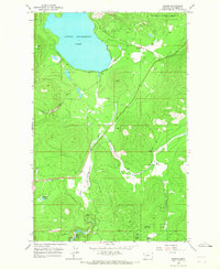
Editions of this 1964 Marion Map
2 editions found
Other maps of this area

1956 · Wallace
USGS Topo · 1:250,000

1957 · Kalispell
USGS Topo · 1:250,000

1960 · Kalispell
USGS Topo · 1:250,000

1960 · Wallace
USGS Topo · 1:250,000

1961 · Kalispell
USGS Topo · 1:250,000
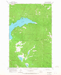
1964 · Lone Lake
USGS Topo · 1:24,000
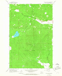
1964 · Haskill Mountain
USGS Topo · 1:24,000
1964 · Kofford Ridge
USGS Topo · 1:24,000
1964 · Pleasant Valley Mountain
USGS Topo · 1:24,000
1964 · Hubbart Reservoir
USGS Topo · 1:24,000