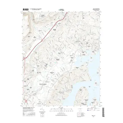
2016 Map of Daisy
USGS Topo · Published 2016About this map
Cumberland Escarpment rises sharply to the west, overlooking a complex suburban and industrial landscape along the Tennessee River's northern reaches. The area is defined by the heavy rail infrastructure of the Cincinnati New Orleans and Texas Pacific RR and the residential expansion of Soddy-Daisy, Middle Valley, and Hixson. The eastern half of the map is dominated by the wide expanse of the river, where features like Dallas Lake and Harrison Bay have reshaped the original valley.
Find a feature on this map
106 named features on this map. Tap any name to fly to it.
Don’t see what you’re looking for? This feature index may not catch every label — zoom into the map to look around manually.
Map Details
Editions of this 2016 Daisy Map
This is the sole edition of this map. No revisions or reprints were ever made.
Other maps of this area

1888 · Chattanooga
USGS Topo · 1:125,000

1893 · Chattanooga
USGS Topo · 1:125,000

1935 · East Chattanooga
USGS Topo · 1:24,000

1935 · Daisy
USGS Topo · 1:24,000

1935 · Soddy
USGS Topo · 1:24,000

1935 · Snow Hill
USGS Topo · 1:24,000

1935 · Ooltewah
USGS Topo · 1:24,000

1935 · Soddy Island
USGS Topo · 1:24,000

1936 · Henson Gap
USGS Topo · 1:24,000

1936 · Fairmount
USGS Topo · 1:24,000