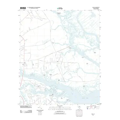
2011 Map of Dale
USGS Topo · Published 2011About this map
Dale and the surrounding marshlands of Beaufort County are defined by a complex network of tidal creeks and river channels near the South Carolina coast. The Coosaw River dominates the southern portion of the landscape, where the Intracoastal Waterway cuts past landmarks like Brickyard Point and Jack Island. To the north, the Combahee River and Wimbee Creek carve through the lowcountry, isolating numerous landmasses such as the Williman Islands and Chisholm Islands.
Find a feature on this map
89 named features on this map. Tap any name to fly to it.
Don’t see what you’re looking for? This feature index may not catch every label — zoom into the map to look around manually.
Map Details
Editions of this 2011 Dale Map
This is the sole edition of this map. No revisions or reprints were ever made.
Other maps of this area

1918 · Green Pond
USGS Topo · 1:62,500

1918 · Yemassee
USGS Topo · 1:62,500

1920 · Okatie
USGS Topo · 1:62,500

1942 · Okatie
USGS Topo · 1:62,500

1943 · Yemassee
USGS Topo · 1:62,500

1943 · Green Pond
USGS Topo · 1:62,500

1944 · Fort Fremont
USGS Topo · 1:62,500

1947 · Savannah
USGS Topo · 1:250,000

1948 · Savannah
USGS Topo · 1:250,000

1956 · Frogmore
USGS Topo · 1:24,000