Loading...
Loading map...2024 Map of Dale
USGS Topo · Published 2024About this map
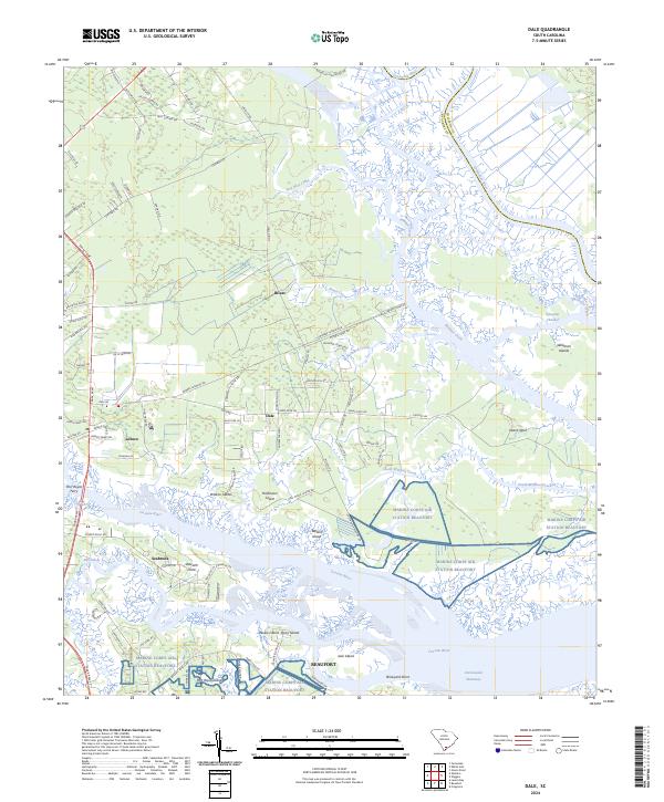
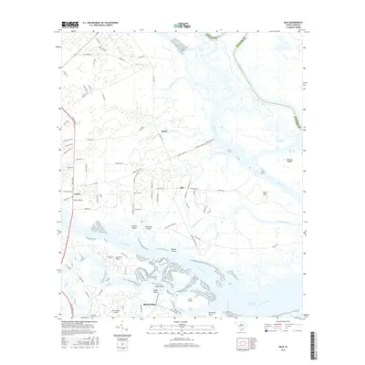
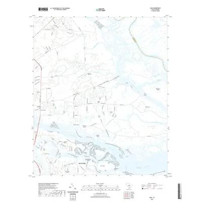
Marine Corps Air Station Beaufort dominates the southern landscape of this coastal region, where the Coosaw River and Intracoastal Waterway meet. The terrain is defined by a network of islands and tidal creeks, including Williman Islands, Browns Island, and Paukie Island. Small settlements like Dale, Lobeco, and Seabrook are connected by roads such as Trask Pkwy and Wimbee Landing Rd.
Find a feature on this map
93 named features on this map. Tap any name to fly to it.
Don’t see what you’re looking for? This feature index may not catch every label — zoom into the map to look around manually.
Map Details
Date Portrayed2024
Date Published2024
PublisherU.S. Geological Survey
Map TypeTopographic
Scale1:24,000
Physical Dimensions24 x 29 inches
Editions of this 2024 Dale Map
This is the sole edition of this map. No revisions or reprints were ever made.
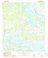
Historical Maps of Beaufort Through Time
6 maps found
Featured Locations
Source Details
SourceU.S. Geological Survey
CopyrightPublic Domain