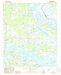
1988 Map of Dale
USGS Topo · Published 1988About this map
Dale and Lobeco serve as the primary inland anchors for this Lowcountry landscape, situated on the intricate edge of the South Carolina coast in the late 1980s. The terrain is a complex network of estuarine channels and islands, where the Combahee River and Coosaw River converge toward the Atlantic. A significant remnant of local industrial history is visible in the Old RR Grade, which cuts through the salt marshes and across Chisolm Islands, marking a transportation route that once connected these isolated landmasses.
Find a feature on this map
35 named features on this map. Tap any name to fly to it.
Don’t see what you’re looking for? This feature index may not catch every label — zoom into the map to look around manually.
Map Details
Editions of this 1988 Dale Map
This is the sole edition of this map. No revisions or reprints were ever made.
Other maps of this area

1918 · Green Pond
USGS Topo · 1:62,500

1918 · Yemassee
USGS Topo · 1:62,500

1920 · Okatie
USGS Topo · 1:62,500

1942 · Okatie
USGS Topo · 1:62,500

1943 · Yemassee
USGS Topo · 1:62,500

1943 · Green Pond
USGS Topo · 1:62,500

1944 · Fort Fremont
USGS Topo · 1:62,500

1947 · Savannah
USGS Topo · 1:250,000

1948 · Savannah
USGS Topo · 1:250,000

1956 · Frogmore
USGS Topo · 1:24,000