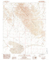
1985 Map of Dale Lake
USGS Topo · Published 1985About this map
Sheep Hole Mountains and the Bullion Mountains converge in this arid San Bernardino County landscape, dominated by the expansive dry basin of Dale Lake. This mid-1980s provisional study highlights the industrial character of the basin, where an extensive network of Levee and Levees suggests salt or mineral extraction operations common to these California playas. The presence of the Bush mine and the intersection of Amboy Road with Ironage Road provide evidence of the isolated transit and resource-extraction history of the Mojave Desert. The map's detail on terrain and water management features reveals how humanity modified this severe environment for industrial utility during the late 20th century.
Find a feature on this map
10 named features on this map. Tap any name to fly to it.
Don’t see what you’re looking for? This feature index may not catch every label — zoom into the map to look around manually.
Map Details
Editions of this 1985 Dale Lake Map
2 editions found
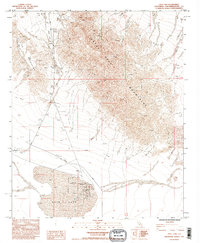
Other maps of this area

1942 · Amboy
USGS Topo · 1:250,000

1943 · Amboy
USGS Topo · 1:250,000

1954 · Needles
USGS Topo · 1:250,000

1954 · Bristol Lake SW
USGS Topo · 1:24,000
1955 · Cleghorn Lakes
USGS Topo · 1:24,000

1955 · Lead Mountain
USGS Topo · 1:62,500

1956 · Needles
USGS Topo · 1:250,000

1956 · Dale Lake
USGS Topo · 1:62,500

1956 · Bristol Lake
USGS Topo · 1:62,500
1956 · Valley Mountain
USGS Topo · 1:62,500