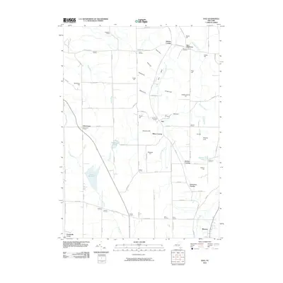
2010 Map of Dale
USGS Topo · Published 2010About this map
The settlement of Dale sits at the heart of this Wyoming County landscape, where the valley of Little Tonawanda Creek is flanked by steep geological formations like Dale Gulf and Kennedy Gulf. This area is characterized by a high density of small, named crossroads and burial grounds that offer significant value for genealogical research. Communities such as Millers Crossing, Beehive Crossing, and Vernal Corners are connected by a network of rural roads that navigate around prominent rises like Doyle Hill and Wheelers Hill. The western portion of the map is dominated by the Attica Reservoir, which collects water from Stony Creek and Wards Brook. Numerous family and community plots, including the Dale Pioneer Cemetery and Brainard Cemetery, provide a clear record of the area's rural settlement patterns and local history.
Find a feature on this map
96 named features on this map. Tap any name to fly to it.
Don’t see what you’re looking for? This feature index may not catch every label — zoom into the map to look around manually.
Map Details
Editions of this 2010 Dale Map
This is the sole edition of this map. No revisions or reprints were ever made.
Other maps of this area

1904 · Batavia
USGS Topo · 1:62,500

1905 · Attica
USGS Topo · 1:62,500

1905 · Portage
USGS Topo · 1:62,500

1923 · Arcade
USGS Topo · 1:62,500

1925 · Arcade
USGS Topo · 1:62,500

1943 · Warsaw
USGS Topo · 1:24,000

1943 · Castile
USGS Topo · 1:24,000

1944 · Alexander
USGS Topo · 1:31,680

1944 · Stafford
USGS Topo · 1:31,680

1944 · Warsaw
USGS Topo · 1:31,680