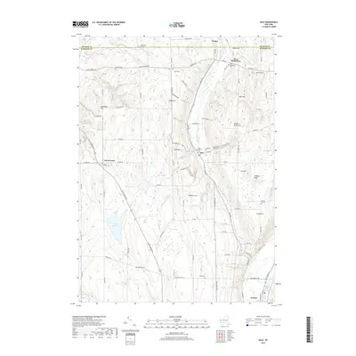
2019 Map of Dale
USGS Topo · Published 2019About this map
Attica Reservoir and the headwaters of Little Tonawanda Cr anchor this upland landscape in Wyoming County. The area is characterized by deep ravines known locally as gulfs, including Ewell Gulf, Dusing Gulf, and Dale Gulf, which cut through the high ridges of Colton Hill and Wheelers Hill. These dramatic elevation changes influenced the early settlement patterns of hamlets like Dale and Attica Center, where local life was organized around small crossroads and family-held lands. Genealogists will find a high density of burial sites across the township, such as Brainard Cem near the Genesee County line and the Dale Pioneer Cem. The presence of numerous wetlands, including Webbers Swamp and Bannan Swamp, highlights the poorly drained plateau soils that define the rural character between the larger valley settlements of Warsaw and Linden.
Find a feature on this map
88 named features on this map. Tap any name to fly to it.
Don’t see what you’re looking for? This feature index may not catch every label — zoom into the map to look around manually.
Map Details
Editions of this 2019 Dale Map
This is the sole edition of this map. No revisions or reprints were ever made.
Other maps of this area

1904 · Batavia
USGS Topo · 1:62,500

1905 · Attica
USGS Topo · 1:62,500

1905 · Portage
USGS Topo · 1:62,500

1923 · Arcade
USGS Topo · 1:62,500

1925 · Arcade
USGS Topo · 1:62,500

1943 · Warsaw
USGS Topo · 1:24,000

1943 · Castile
USGS Topo · 1:24,000

1944 · Alexander
USGS Topo · 1:31,680

1944 · Stafford
USGS Topo · 1:31,680

1944 · Warsaw
USGS Topo · 1:31,680