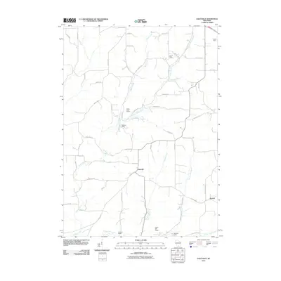
2010 Map of Daleyville
USGS Topo · Published 2010About this map
Daleyville sits as a central crossroads in this section of Dane County, where County HWY-A meets County HWY-H. The landscape is defined by its deep agricultural roots and the dendritic drainage patterns of Gordon Creek and its various tributaries, including the German Valley Branch and Pleasant Valley Branch. These waterways carve through the terrain, flanking features like Indian Hill Ridge and the broad expanse of Kittleson Valley.
Find a feature on this map
51 named features on this map. Tap any name to fly to it.
Don’t see what you’re looking for? This feature index may not catch every label — zoom into the map to look around manually.
Map Details
Editions of this 2010 Daleyville Map
This is the sole edition of this map. No revisions or reprints were ever made.
Other maps of this area

1907 · Cross Plains
USGS Topo · 1:62,500

1909 · Cross Plains
USGS Topo · 1:62,500

1920 · Blue Mounds
USGS Topo · 1:62,500

1922 · Blue Mounds
USGS Topo · 1:62,500

1923 · Blanchardville
USGS Topo · 1:62,500

1923 · New Glarus
USGS Topo · 1:62,500

1954 · Rockford
USGS Topo · 1:250,000

1955 · Rockford
USGS Topo · 1:250,000

1957 · Madison
USGS Topo · 1:250,000

1958 · Rockford
USGS Topo · 1:250,000