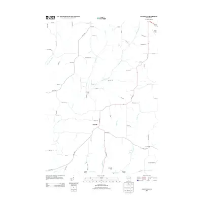
2013 Map of Daleyville
USGS Topo · Published 2013About this map
Daleyville serves as the central hub of this rural Wisconsin landscape, where several distinct valleys converge. The area is defined by a dense network of local creeks and branches, including Williams-Barneveld Cr and Gordon Cr, which carve through the terrain near landmarks like Indian Hill Ridge. Small settlements such as German Valley and Forward are connected by a winding grid of roads named for local families and natural features, reflecting the agricultural heritage of Dane County. The presence of specialized airstrips, including Atkins Ridge Airport and Cardinal Ridge Airport, indicates the modern integration of aviation into this traditional farming country. Genealogists can trace family connections through the numerous named routes like Brattlie Rd and Syvrud Rd that link these small communities and isolated valleys.
Find a feature on this map
62 named features on this map. Tap any name to fly to it.
Don’t see what you’re looking for? This feature index may not catch every label — zoom into the map to look around manually.
Map Details
Editions of this 2013 Daleyville Map
This is the sole edition of this map. No revisions or reprints were ever made.
Other maps of this area

1907 · Cross Plains
USGS Topo · 1:62,500

1909 · Cross Plains
USGS Topo · 1:62,500

1920 · Blue Mounds
USGS Topo · 1:62,500

1922 · Blue Mounds
USGS Topo · 1:62,500

1923 · Blanchardville
USGS Topo · 1:62,500

1923 · New Glarus
USGS Topo · 1:62,500

1954 · Rockford
USGS Topo · 1:250,000

1955 · Rockford
USGS Topo · 1:250,000

1957 · Madison
USGS Topo · 1:250,000

1958 · Rockford
USGS Topo · 1:250,000