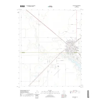
2019 Map of Dalhart West
USGS Topo · Published 2019About this map
Dalhart straddles the boundary between Dallam Co and Hartley Co, serving as a critical High Plains hub where major transportation routes like 87 and 54 converge. The landscape is defined by the winding course of Rita Blanca Cr, which feeds into the prominent Rita Blanca Lake south of the city center. This 2019 survey illustrates the modern layout of the town, from the grid-patterned streets of the urban core to the expanding residential areas along Pioneer Estates Rd. The map also details essential infrastructure such as the Dalhart Municipal Airport and recreational features like the Country Club, reflecting the area's development as a regional center for aviation, ranching, and community life in the Texas Panhandle.
Find a feature on this map
108 named features on this map. Tap any name to fly to it.
Don’t see what you’re looking for? This feature index may not catch every label — zoom into the map to look around manually.
Map Details
Editions of this 2019 Dalhart West Map
This is the sole edition of this map. No revisions or reprints were ever made.
Other maps of this area

1954 · Tucumcari
USGS Topo · 1:250,000

1954 · Dalhart
USGS Topo · 1:250,000

1958 · Tucumcari
USGS Topo · 1:250,000

1958 · Dalhart
USGS Topo · 1:250,000

1962 · Dalhart
USGS Topo · 1:250,000

1973 · Pardue Camp
USGS Topo · 1:24,000

1973 · Hartley
USGS Topo · 1:24,000

1973 · King
USGS Topo · 1:24,000

1973 · Canyon School
USGS Topo · 1:24,000

1973 · Bolin NE
USGS Topo · 1:24,000