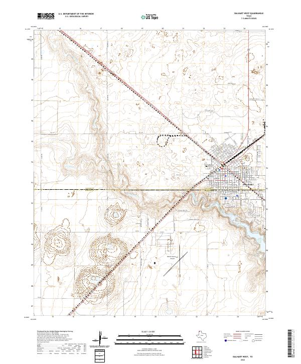
2022 Map of Dalhart West
USGS Topo · Published 2022About this map
Dalhart serves as the focal point for this High Plains survey, positioned where the Dallam and Hartley county line bisects the city. The town's grid is anchored by the Dallam County Courthouse and follows a layout heavily influenced by the presence of rail, with Railroad St running parallel to the tracks. Southwest of the urban center, the Dalhart Municipal Airport occupies a significant portion of the landscape, adjacent to the recreational areas of Rita Blanca Lake. The surrounding terrain is defined by the winding paths of Rita Blanca Cr and Carrizo Cr, which carve through the plains. This 2022 edition captures the area's development from the established city streets near Memorial Park Cem to the outlying rural roads like FM 1727 and Ranch Rd 998.
Find a feature on this map
109 named features on this map. Tap any name to fly to it.
Don’t see what you’re looking for? This feature index may not catch every label — zoom into the map to look around manually.
Map Details
Editions of this 2022 Dalhart West Map
This is the sole edition of this map. No revisions or reprints were ever made.
Other maps of this area

1954 · Tucumcari
USGS Topo · 1:250,000

1954 · Dalhart
USGS Topo · 1:250,000

1958 · Tucumcari
USGS Topo · 1:250,000

1958 · Dalhart
USGS Topo · 1:250,000

1962 · Dalhart
USGS Topo · 1:250,000

1973 · Pardue Camp
USGS Topo · 1:24,000

1973 · Hartley
USGS Topo · 1:24,000

1973 · King
USGS Topo · 1:24,000

1973 · Canyon School
USGS Topo · 1:24,000

1973 · Bolin NE
USGS Topo · 1:24,000