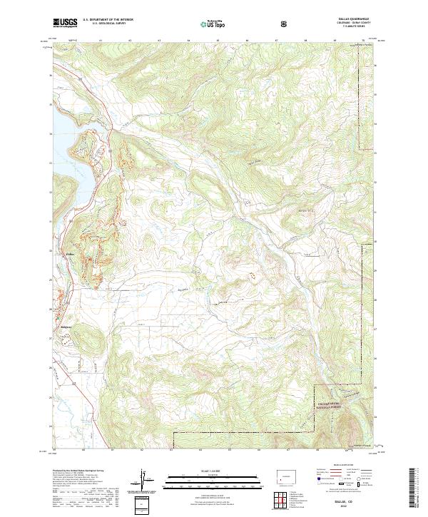
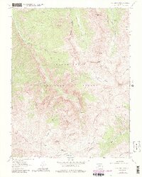
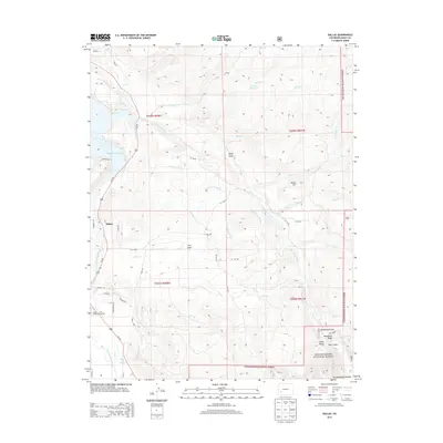
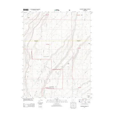
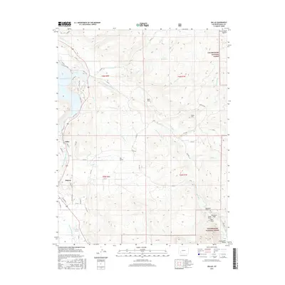
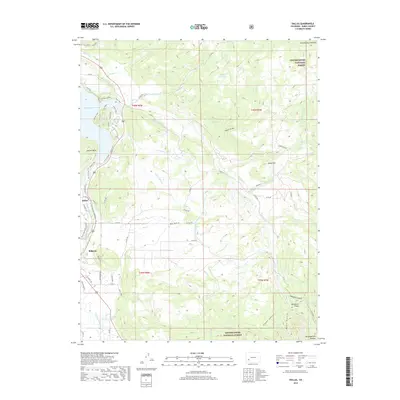
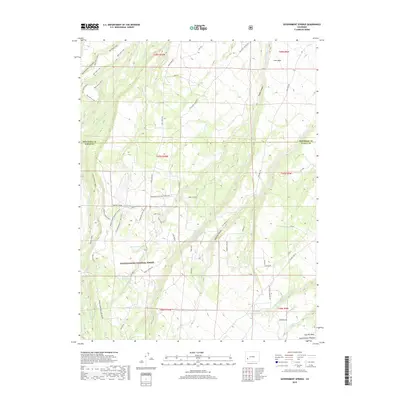
2022 Map of Dallas
USGS Topo · Published 2022About this map
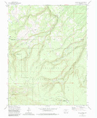
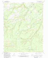
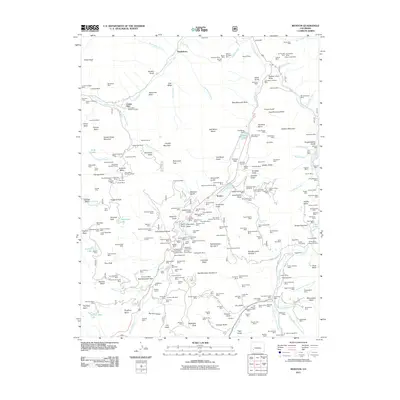
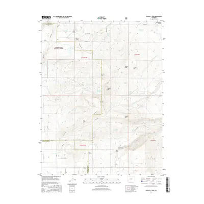
Ridgway and the historic settlement of Dallas sit along the Uncompahgre River, where the high desert mesa meets the rising slopes of the Uncompahgre National Forest. This modern record of the valley reveals a landscape defined by water management and recreational development. An extensive network of irrigation features, including Alkali Ditch Number 1 and Alkali Ditch Number 2, supports the agricultural bottomlands near Dry Gulch, while the surrounding hills are crisscrossed by a dense modern trail system with names like Rattlesnake Trl and Marni Mata Trl. The presence of the Orvis Hot Spring south of town underscores the geothermal character of the region. To the east, the terrain climbs toward Onion Hill and Ramshorn Ridge, marking the transition into the deeper canyons and drainages of Courthouse Cr and Flume Cr.
Find a feature on this map
84 named features on this map. Tap any name to fly to it.
Don’t see what you’re looking for? This feature index may not catch every label — zoom into the map to look around manually.
Map Details
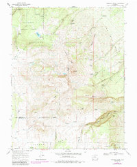
Editions of this 2022 Dallas Map
This is the sole edition of this map. No revisions or reprints were ever made.
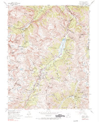
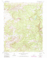
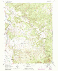
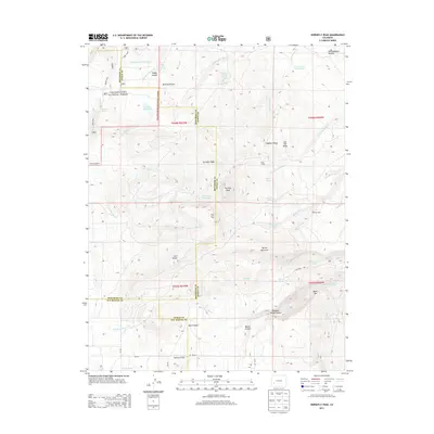
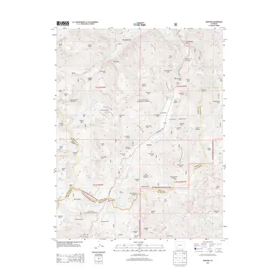
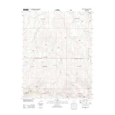
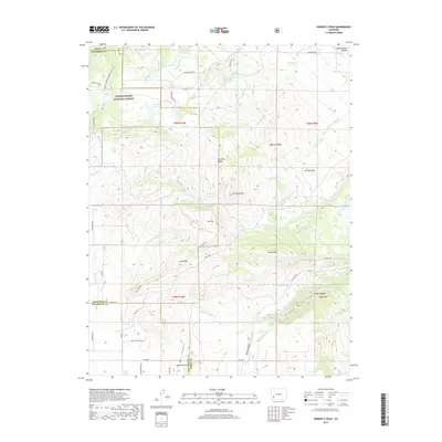
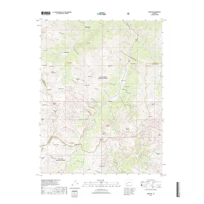
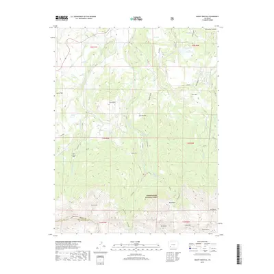
Historical Maps of Ridgway Through Time
49 maps found
1955 Ironton
Ouray County, CO
1963 Buckhorn Lakes
Ouray County, CO
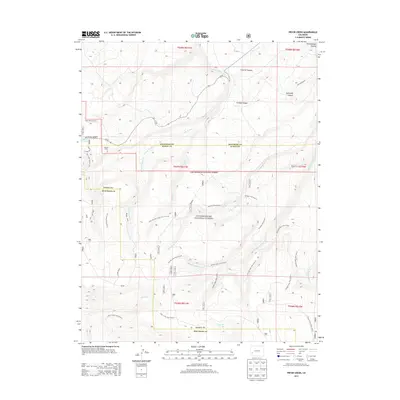
1963 Dallas
Ouray County, CO
1963 Wetterhorn Peak
Ouray County, CO
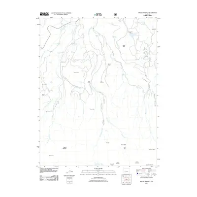
1967 Horsefly Peak
Ouray County, CO
1967 Mount Sneffels
Ouray County, CO
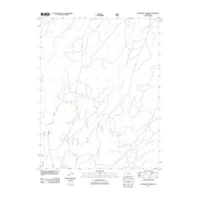
1973 Government Springs
Ouray County, CO
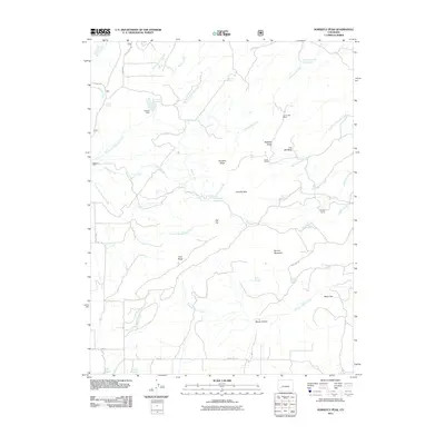
1973 Pryor Creek
Ouray County, CO
1994 Pryor Creek
Ouray County, CO
2011 Buckhorn Lakes
Ouray County, CO
2011 Dallas
Ouray County, CO
2011 Government Springs
Ouray County, CO
2011 Horsefly Peak
Ouray County, CO
2011 Ironton
Ouray County, CO
2011 Mount Sneffels
Ouray County, CO
2011 Pryor Creek
Ouray County, CO
2011 Wetterhorn Peak
Ouray County, CO
2013 Buckhorn Lakes
Ouray County, CO
2013 Dallas
Ouray County, CO
2013 Government Springs
Ouray County, CO
2013 Horsefly Peak
Ouray County, CO
2013 Ironton
Ouray County, CO
2013 Mount Sneffels
Ouray County, CO
2013 Pryor Creek
Ouray County, CO
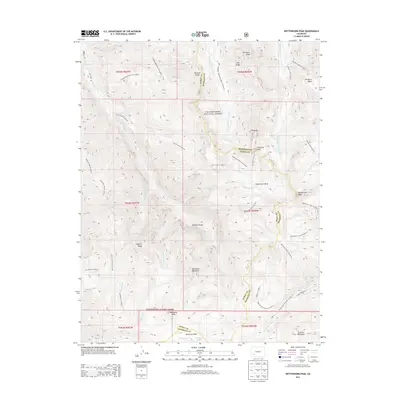
2013 Wetterhorn Peak
Ouray County, CO
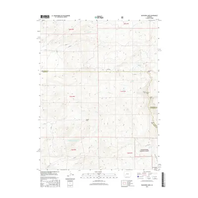
2016 Buckhorn Lakes
Ouray County, CO
2016 Dallas
Ouray County, CO
2016 Government Springs
Ouray County, CO
2016 Horsefly Peak
Ouray County, CO
2016 Ironton
Ouray County, CO
2016 Mount Sneffels
Ouray County, CO
2016 Pryor Creek
Ouray County, CO
2016 Wetterhorn Peak
Ouray County, CO
2019 Buckhorn Lakes
Ouray County, CO
2019 Dallas
Ouray County, CO
2019 Government Springs
Ouray County, CO
2019 Horsefly Peak
Ouray County, CO
2019 Ironton
Ouray County, CO
2019 Mount Sneffels
Ouray County, CO
2019 Pryor Creek
Ouray County, CO
2019 Wetterhorn Peak
Ouray County, CO
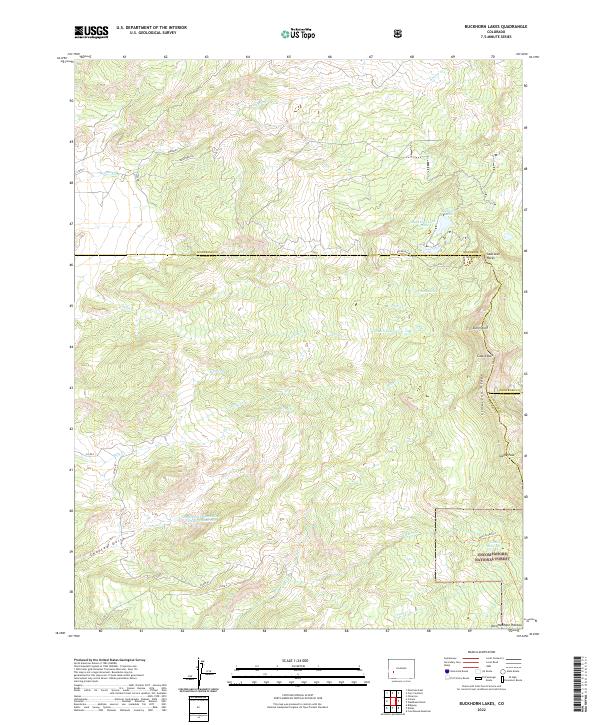
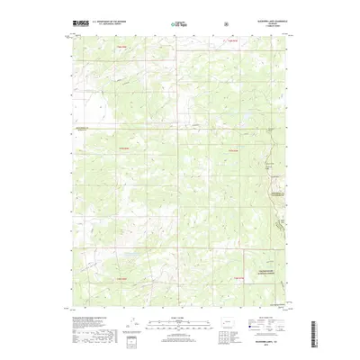
2022 Buckhorn Lakes
Ouray County, CO
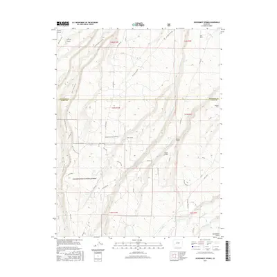
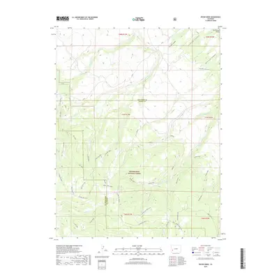
2022 Dallas
Ouray County, CO
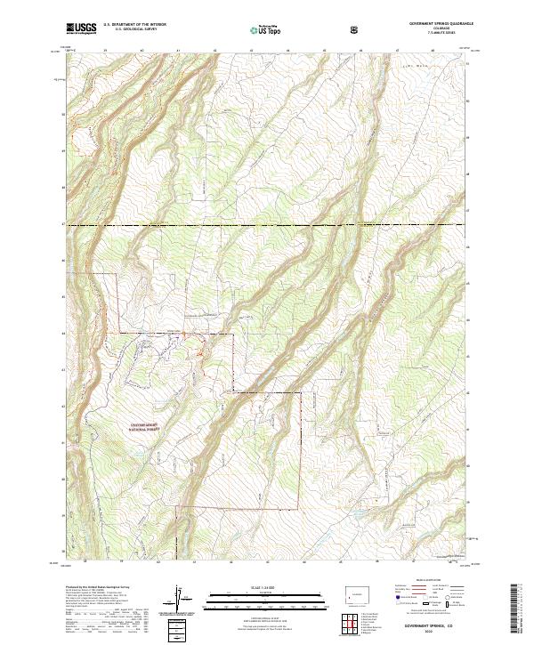
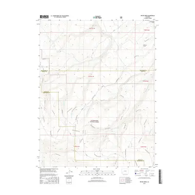
2022 Government Springs
Ouray County, CO
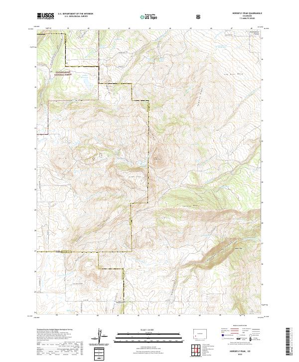
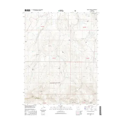
2022 Horsefly Peak
Ouray County, CO
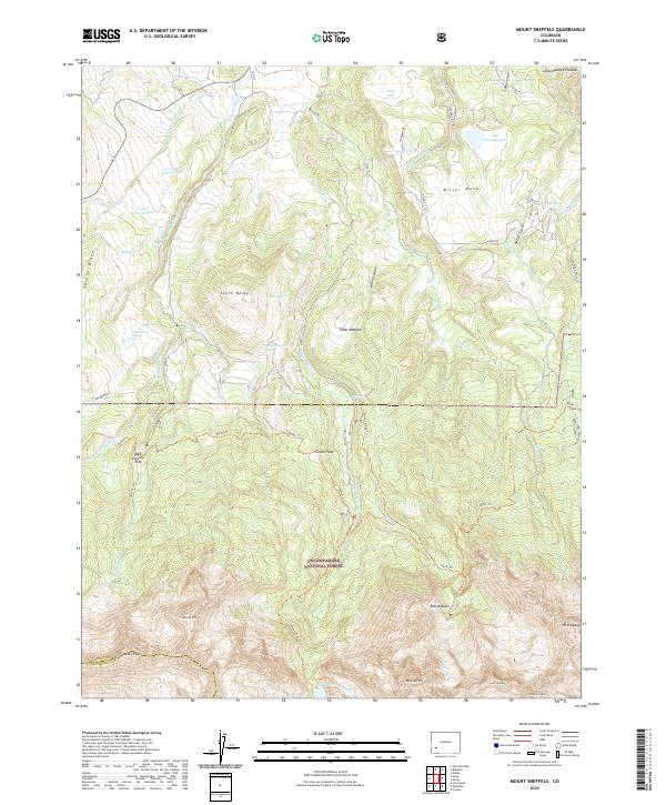
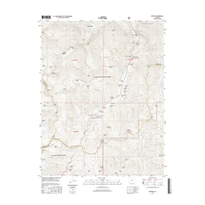
2022 Mount Sneffels
Ouray County, CO
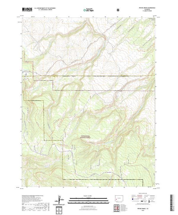
2022 Pryor Creek
Ouray County, CO
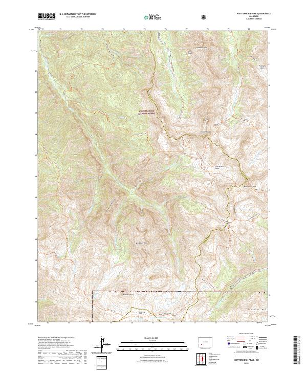
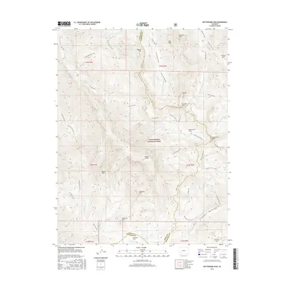
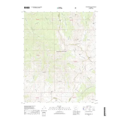
2022 Wetterhorn Peak
Ouray County, CO
2023 Ironton
Ouray County, CO