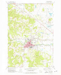
1974 Map of Dallas
USGS Topo · Published 1977About this map
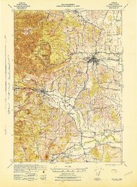
Dallas serves as the central hub of this mid-1970s survey, showing a landscape defined by the winding course of Rickreall Creek and the steel rails of the Southern Pacific railroad. The town's growth is evident through established residential blocks, multiple schools like La Creole Jr High School and Whitworth School, and industrial markers such as grain elevators and a nearby Filtration Plant. This era records the agricultural and natural balance of Polk County, with extensive orchards and vineyards suggested by local names like Orchard Knob Road.
Find a feature on this map
76 named features on this map. Tap any name to fly to it.
Don’t see what you’re looking for? This feature index may not catch every label — zoom into the map to look around manually.
Map Details
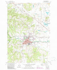
Editions of this 1974 Dallas Map
2 editions found
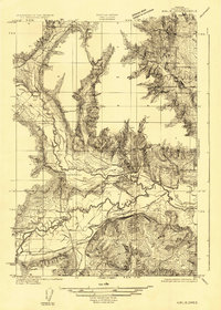
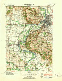
Other maps of this area

1914 · Independence
USGS Topo · 1:31,680

1915 · Rickreall
USGS Topo · 1:31,680

1917 · Salem
USGS Topo · 1:62,500
1922 · Airlie
USGS Topo · 1:31,680

1924 · Mc Minnville
USGS Topo · 1:48,000

1926 · Mc Minnville
USGS Topo · 1:62,500

1940 · McMinnville
USGS Topo · 1:62,500
1940 · Salem
USGS Topo · 1:62,500

1942 · Sheridan
USGS Topo · 1:62,500
1942 · Dallas
USGS Topo · 1:62,500