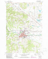
1974 Map of Dallas
USGS Topo · Published 1987About this map
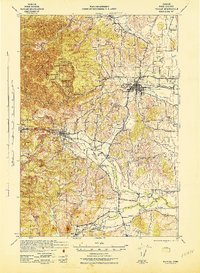
The city of Dallas serves as the hub of this mid-1970s survey, showing a well-developed grid of streets and schools including Whitworth Sch and the Academy Jr Hi S. The landscape is defined by the winding course of Rickreall Creek and the intricate hydrology of the Baskett Slough National Wildlife Refuge to the northeast. Small satellite settlements like Fir Villa, Dolph Corner, and Polk Station reveal the rural residential pattern of the era.
Find a feature on this map
61 named features on this map. Tap any name to fly to it.
Don’t see what you’re looking for? This feature index may not catch every label — zoom into the map to look around manually.
Map Details
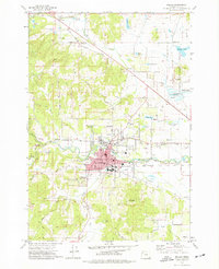
Editions of this 1974 Dallas Map
2 editions found
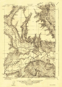
Other maps of this area

1914 · Independence
USGS Topo · 1:31,680

1915 · Rickreall
USGS Topo · 1:31,680

1917 · Salem
USGS Topo · 1:62,500
1922 · Airlie
USGS Topo · 1:31,680

1924 · Mc Minnville
USGS Topo · 1:48,000

1926 · Mc Minnville
USGS Topo · 1:62,500

1940 · McMinnville
USGS Topo · 1:62,500
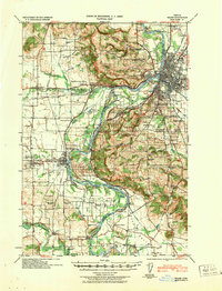
1940 · Salem
USGS Topo · 1:62,500

1942 · Sheridan
USGS Topo · 1:62,500
1942 · Dallas
USGS Topo · 1:62,500