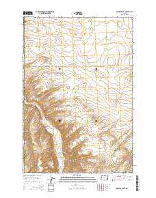
2014 Map of Dalreed Butte
USGS Topo · Published 2014About this map
The high plateau of the Columbia River Basin defines this section of the Oregon interior, where the border between Gilliam Co and Morrow Co follows the local topography. The landscape is dominated by Dalreed Butte, a prominent landmark rising above the surrounding drainage systems. Much of the local geography revolves around the movement of water through this arid terrain, with the winding course of Willow Creek and the man-made Ewing Ditch serving as critical infrastructure for the region's agricultural life. Local road names like Immigrant Ln and Taggares Ln reflect the area's history of movement and land use, while Schoolhouse Canyon suggests the former sites of early rural community centers. State Route Or-74 provides the primary transit artery through the canyon floors, connecting these remote agricultural sections.
Find a feature on this map
12 named features on this map. Tap any name to fly to it.
Don’t see what you’re looking for? This feature index may not catch every label — zoom into the map to look around manually.
Map Details
Editions of this 2014 Dalreed Butte Map
This is the sole edition of this map. No revisions or reprints were ever made.
Other maps of this area

1906 · Blalock Island
USGS Topo · 1:125,000

1908 · Blalock Island
USGS Topo · 1:125,000

1916 · Arlington
USGS Topo · 1:125,000

1953 · Pendleton
USGS Topo · 1:250,000

1953 · The Dalles
USGS Topo · 1:250,000

1956 · The Dalles
USGS Topo · 1:250,000

1956 · Pendleton
USGS Topo · 1:250,000

1957 · The Dalles
USGS Topo · 1:250,000

1962 · Alderdale
USGS Topo · 1:24,000

1962 · Heppner Junction
USGS Topo · 1:24,000