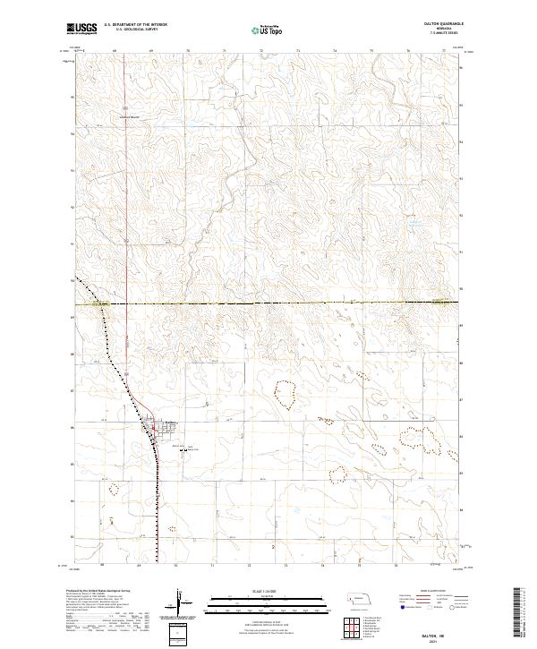
2021 Map of Dalton
USGS Topo · Published 2021About this map
The village of Dalton serves as the focal point for this section of the High Plains, situated at the intersection of several key local routes including RD 111 and RD 58. The town's grid is clearly defined by historical thoroughfares such as Broad St, Main St, and State St. Just south of the residential center, genealogists can find the Dalton Cem and Saint Marys Cem, which mark the community's long-standing roots in the area. The surrounding landscape is characterized by its agricultural section lines and significant local elevations, most notably the prominent Lookout Mound in the northwest. In the eastern reaches, the Camp Cr Reservoir provides a rare water feature amidst the expansive terrain. This map also delineates the jurisdictional boundary between Morrill County and Cheyenne County, illustrating how political lines bisect this rural landscape.
Find a feature on this map
32 named features on this map. Tap any name to fly to it.
Don’t see what you’re looking for? This feature index may not catch every label — zoom into the map to look around manually.
Map Details
Editions of this 2021 Dalton Map
This is the sole edition of this map. No revisions or reprints were ever made.
Other maps of this area

1896 · Browns Creek
USGS Topo · 1:125,000

1898 · Camp Clarke
USGS Topo · 1:125,000

1899 · Browns Creek
USGS Topo · 1:125,000

1899 · Sidney
USGS Topo · 1:125,000

1954 · Scottsbluff
USGS Topo · 1:250,000

1958 · Scottsbluff
USGS Topo · 1:250,000

1965 · Broadwater
USGS Topo · 1:24,000

1965 · Courthouse Rock
USGS Topo · 1:24,000

1965 · Broadwater SW
USGS Topo · 1:24,000

1972 · Gurley
USGS Topo · 1:24,000