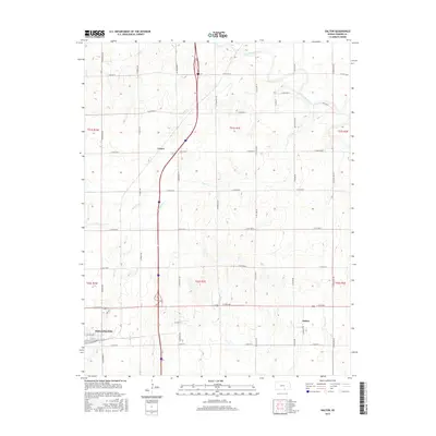
2015 Map of Dalton
USGS Topo · Published 2015About this map
Wellington anchors the southwest corner of this Sumner County landscape, showing the transition from the city's residential streets, such as E Lincoln Ave and 4th St, to the surrounding agricultural plains. The northern reaches of the area are defined by the meandering path of the Ninnescah River, while a network of smaller waterways including Beaver Cr, Antelope Cr, and Winser Cr drain the central and eastern sections. The settlement at Dalton sits near the eastern edge, while Cicero occupies a position in the north-central prairie. This 2015 survey illustrates a highly structured township and range system, where a grid of rural routes like N Meridian Rd and E 50th Ave N carves the land into uniform sections. This modern snapshot of the Kansas interior preserves the locations of local landmarks and the precise intersections that have defined community boundaries for generations.
Find a feature on this map
45 named features on this map. Tap any name to fly to it.
Don’t see what you’re looking for? This feature index may not catch every label — zoom into the map to look around manually.
Map Details
Editions of this 2015 Dalton Map
This is the sole edition of this map. No revisions or reprints were ever made.
Other maps of this area

1890 · Wellington
USGS Topo · 1:125,000

1955 · Belle Plaine
USGS Topo · 1:24,000
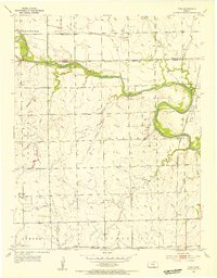
1955 · Zyba
USGS Topo · 1:24,000

1955 · Mulvane
USGS Topo · 1:24,000

1955 · Wichita
USGS Topo · 1:250,000

1958 · Wichita
USGS Topo · 1:250,000

1964 · South Haven NE
USGS Topo · 1:24,000

1964 · Dalton
USGS Topo · 1:24,000

1965 · Adamsville
USGS Topo · 1:24,000

1965 · Rome
USGS Topo · 1:24,000