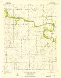
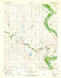
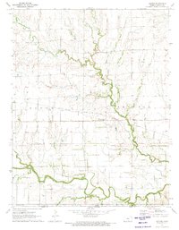
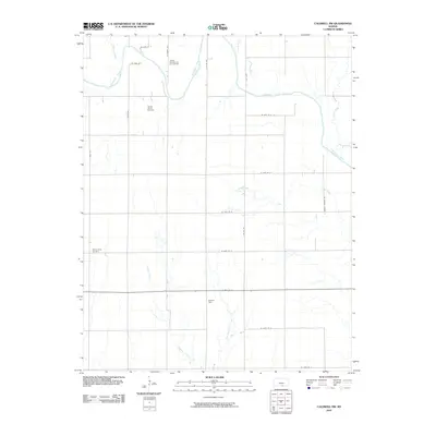
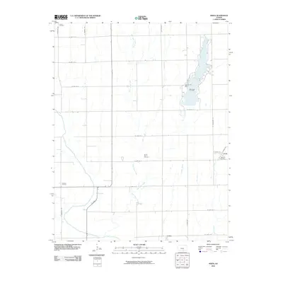
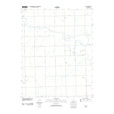
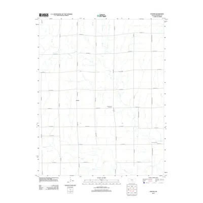
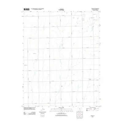
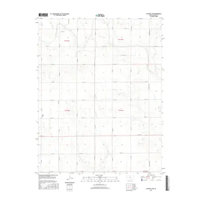
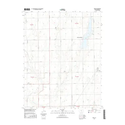
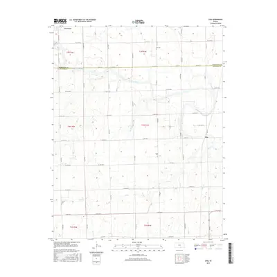
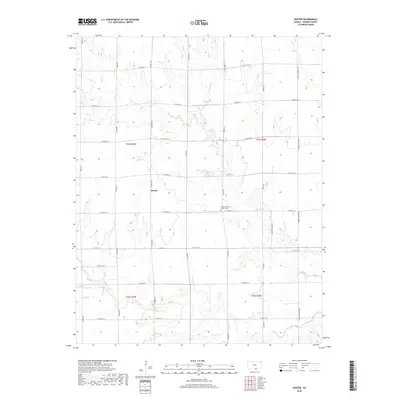
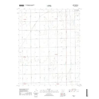
1955 Map of Zyba
USGS Topo · Published 1956About this map
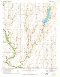
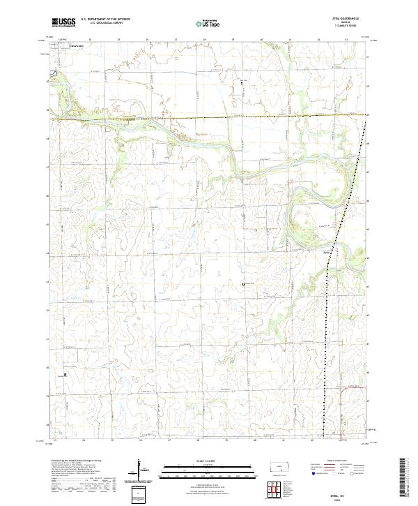
The Ninnescah River carves a winding path across this mid-century Kansas landscape, defining the rural character of London and Seventy Six townships. Settled along the Chicago Rock Island and Pacific railroad, the small community of Zyba stands as a focal point for local transit and commerce during the 1950s. The presence of the Anson Oil Field in the southwest quadrant suggests the importance of petroleum extraction to the local economy alongside traditional agriculture.
Find a feature on this map
24 named features on this map. Tap any name to fly to it.
Don’t see what you’re looking for? This feature index may not catch every label — zoom into the map to look around manually.
Map Details
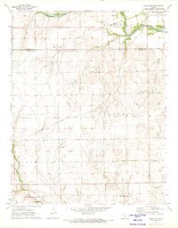
Editions of this 1955 Zyba Map
2 editions found
Historical Maps of Clearwater Through Time
60 maps found
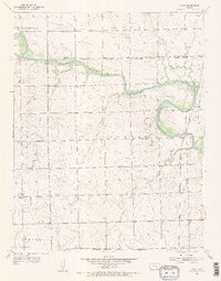
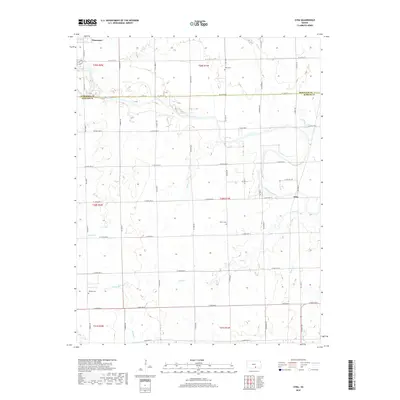
1955 Zyba
Sumner County, KS
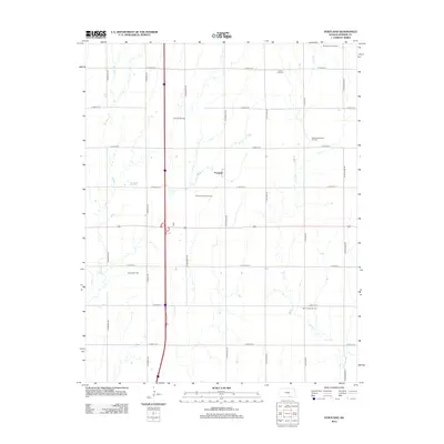
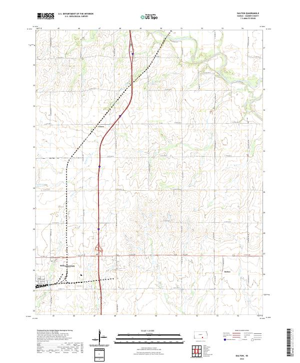
1964 Dalton
Sumner County, KS
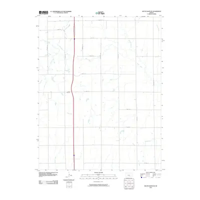
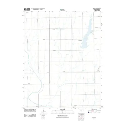
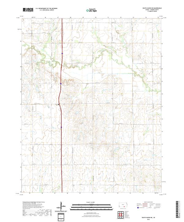
1964 South Haven NE
Sumner County, KS
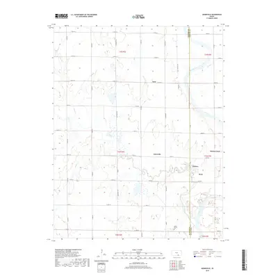
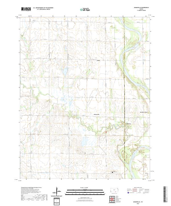
1965 Adamsville
Sumner County, KS
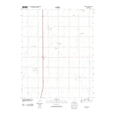
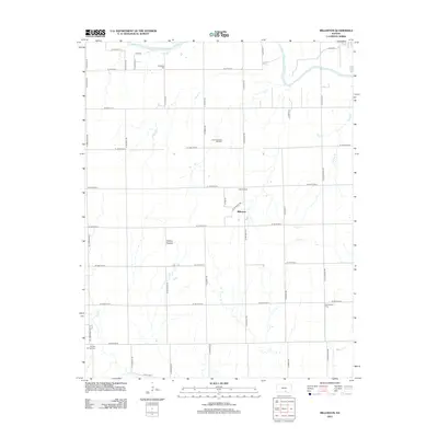
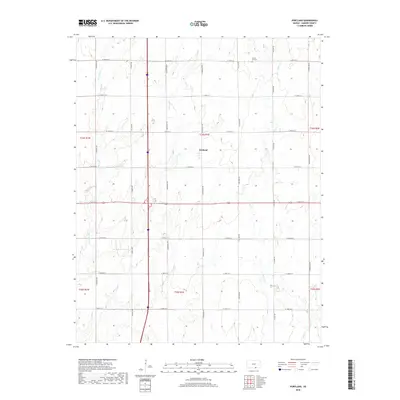
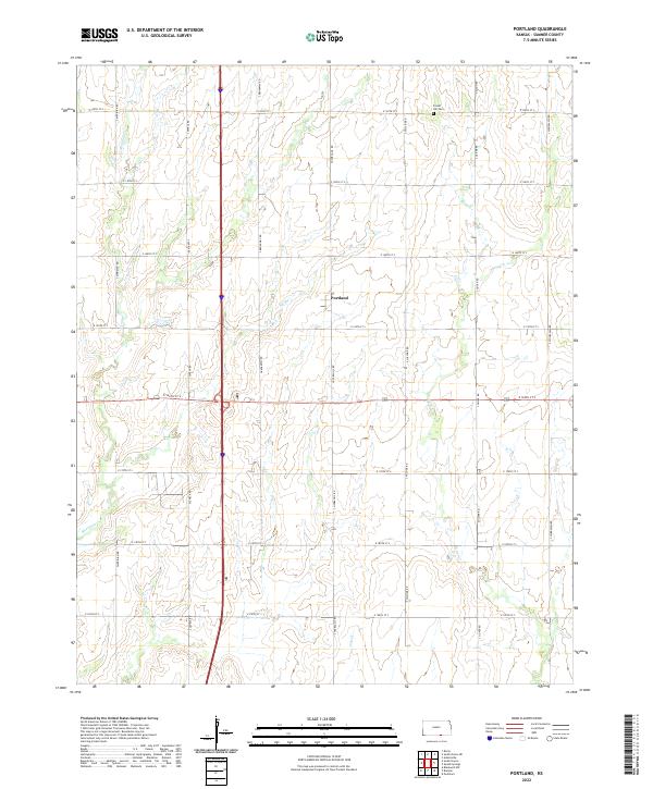
1965 Portland
Sumner County, KS
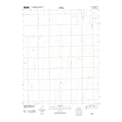
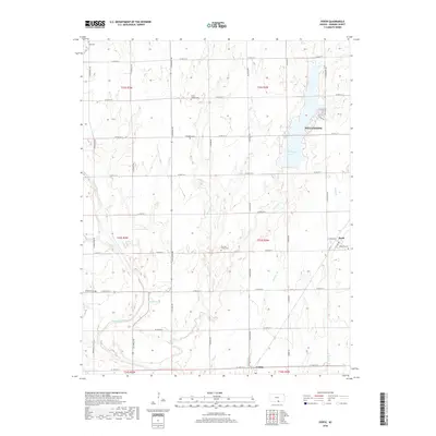
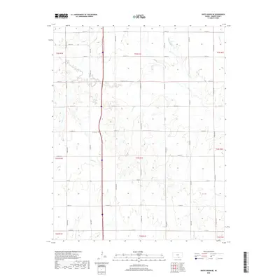
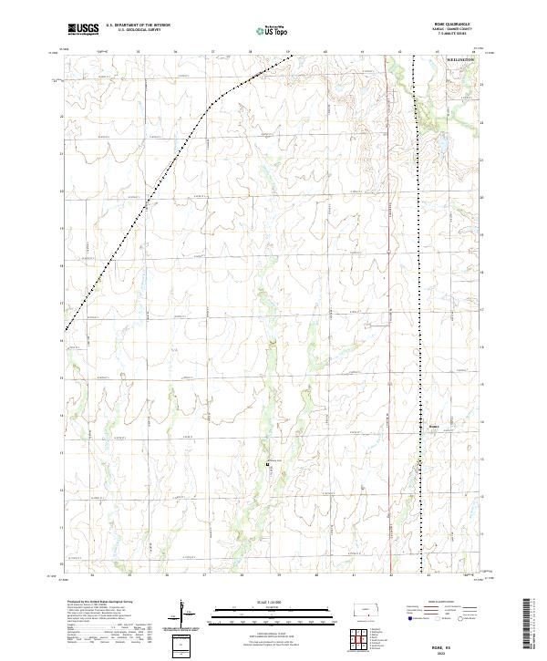
1965 Rome
Sumner County, KS
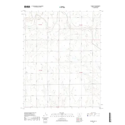
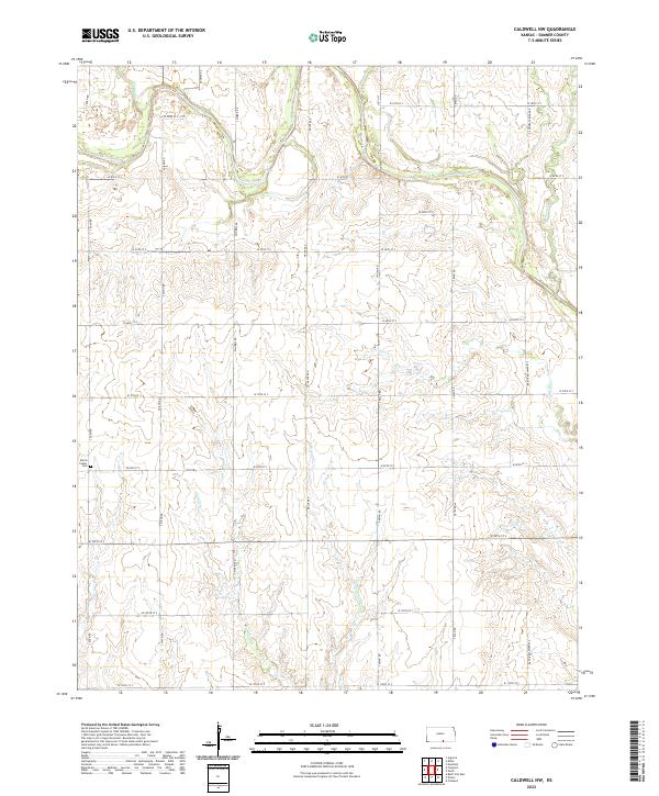
1971 Caldwell NW
Sumner County, KS
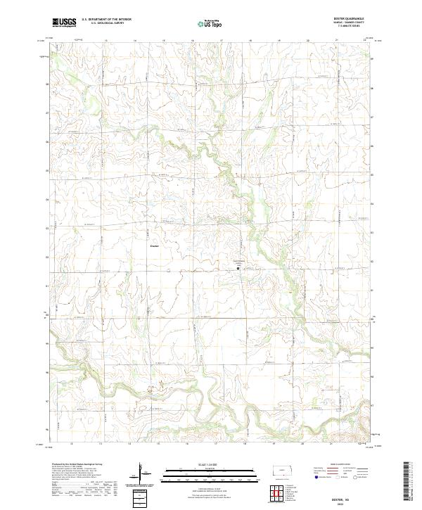
1971 Doster
Sumner County, KS
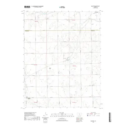
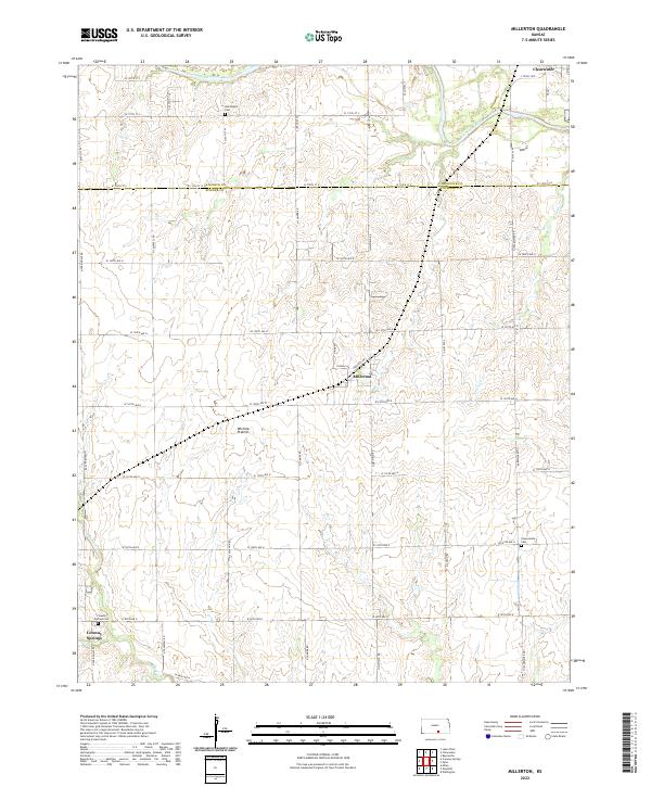
1971 Millerton
Sumner County, KS
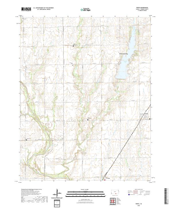
1971 Perth
Sumner County, KS
2010 Adamsville
Sumner County, KS
2010 Caldwell NW
Sumner County, KS
2010 Dalton
Sumner County, KS
2010 Doster
Sumner County, KS
2010 Millerton
Sumner County, KS
2010 Perth
Sumner County, KS
2010 Portland
Sumner County, KS
2010 Rome
Sumner County, KS
2010 South Haven NE
Sumner County, KS
2010 Zyba
Sumner County, KS
2012 Adamsville
Sumner County, KS
2012 Caldwell NW
Sumner County, KS
2012 Dalton
Sumner County, KS
2012 Doster
Sumner County, KS
2012 Millerton
Sumner County, KS
2012 Perth
Sumner County, KS
2012 Portland
Sumner County, KS
2012 Rome
Sumner County, KS
2012 South Haven NE
Sumner County, KS
2012 Zyba
Sumner County, KS
2015 Adamsville
Sumner County, KS
2015 Caldwell NW
Sumner County, KS
2015 Dalton
Sumner County, KS
2015 Doster
Sumner County, KS
2015 Millerton
Sumner County, KS
2015 Perth
Sumner County, KS
2015 Portland
Sumner County, KS
2015 Rome
Sumner County, KS
2015 South Haven NE
Sumner County, KS
2015 Zyba
Sumner County, KS
2018 Adamsville
Sumner County, KS
2018 Caldwell NW
Sumner County, KS
2018 Dalton
Sumner County, KS
2018 Doster
Sumner County, KS
2018 Millerton
Sumner County, KS
2018 Perth
Sumner County, KS
2018 Portland
Sumner County, KS
2018 Rome
Sumner County, KS
2018 South Haven NE
Sumner County, KS
2018 Zyba
Sumner County, KS
2022 Adamsville
Sumner County, KS
2022 Caldwell NW
Sumner County, KS
2022 Dalton
Sumner County, KS
2022 Doster
Sumner County, KS
2022 Millerton
Sumner County, KS
2022 Perth
Sumner County, KS
2022 Portland
Sumner County, KS
2022 Rome
Sumner County, KS
2022 South Haven NE
Sumner County, KS
2022 Zyba
Sumner County, KS