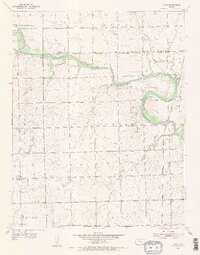
1955 Map of Zyba
USGS Topo · Published 1956About this map
The Ninnescah River meanders across this mid-century landscape, defining the transition from Ohio and Illinois townships down into London and Seventy Six. This area of southern Kansas is marked by a network of drainage creeks, including Turtle Creek and Silver Creek, which feed into the main river channel. The small settlement of Zyba sits at a junction of the Chicago Rock Island and Pacific railroad and a local levee system, serving as a quiet focal point for the surrounding agricultural community.
Find a feature on this map
20 named features on this map. Tap any name to fly to it.
Don’t see what you’re looking for? This feature index may not catch every label — zoom into the map to look around manually.
Map Details
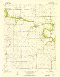
Editions of this 1955 Zyba Map
2 editions found
Other maps of this area

1889 · Cheney
USGS Topo · 1:125,000

1889 · Wichita
USGS Topo · 1:125,000

1889 · Caldwell
USGS Topo · 1:125,000

1890 · Wellington
USGS Topo · 1:125,000

1891 · Cheney
USGS Topo · 1:125,000

1893 · Caldwell
USGS Topo · 1:125,000

1894 · Wichita
USGS Topo · 1:125,000

1897 · Caldwell
USGS Topo · 1:125,000

1901 · Cheney
USGS Topo · 1:125,000

1943 · Derby
USGS Topo · 1:31,680