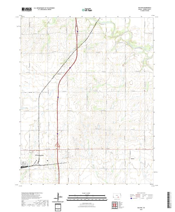
2022 Map of Dalton
USGS Topo · Published 2022About this map
The agricultural landscape of Sumner County is defined by the intersection of the Ninnescah River and a network of arterial section-line roads. This survey centers on the transition from the northeastern edge of Wellington toward the smaller rural communities of Dalton and Cicero. The terrain is characterized by a series of south-flowing drainage systems, including Antelope Cr and Winser Cr, which cut through the open prairie toward the southern border of the quadrangle.
Find a feature on this map
45 named features on this map. Tap any name to fly to it.
Don’t see what you’re looking for? This feature index may not catch every label — zoom into the map to look around manually.
Map Details
Editions of this 2022 Dalton Map
This is the sole edition of this map. No revisions or reprints were ever made.
Other maps of this area

1890 · Wellington
USGS Topo · 1:125,000

1955 · Belle Plaine
USGS Topo · 1:24,000
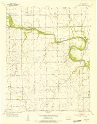
1955 · Zyba
USGS Topo · 1:24,000

1955 · Mulvane
USGS Topo · 1:24,000

1955 · Wichita
USGS Topo · 1:250,000

1958 · Wichita
USGS Topo · 1:250,000

1964 · South Haven NE
USGS Topo · 1:24,000

1964 · Dalton
USGS Topo · 1:24,000

1965 · Adamsville
USGS Topo · 1:24,000

1965 · Rome
USGS Topo · 1:24,000