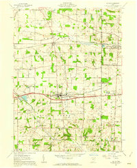
1961 Map of Dalton
USGS Topo · Published 1962About this map
The agricultural and industrial transition of the Wayne and Stark County border is evident in this early 1960s survey. The landscape is defined by the east-west corridor of the New York Chicago and St Louis Railroad and the Pennsylvania line, which intersect the prominent settlement of Dalton. To the south, the influence of Mennonite heritage is visible near Kidron, where landmarks like Sonnenberg School and Sonnenberg Cemetery appear alongside Kidron Station.
Find a feature on this map
60 named features on this map. Tap any name to fly to it.
Don’t see what you’re looking for? This feature index may not catch every label — zoom into the map to look around manually.
Map Details
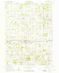
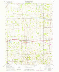
Editions of this 1961 Dalton Map
3 editions found
Other maps of this area

1901 · Massillon
USGS Topo · 1:62,500

1901 · Wooster
USGS Topo · 1:62,500

1903 · Massillon
USGS Topo · 1:62,500

1903 · Wooster
USGS Topo · 1:62,500

1914 · Navarre
USGS Topo · 1:62,500

1915 · Millersburg
USGS Topo · 1:62,500

1943 · Millersburg
USGS Topo · 1:62,500

1944 · Navarre
USGS Topo · 1:62,500

1951 · Canton
USGS Topo · 1:250,000

1953 · Canton
USGS Topo · 1:250,000