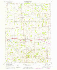
1961 Map of Dalton
USGS Topo · Published 1978About this map
The agricultural and industrial character of the Wayne and Stark County line is documented in this 1961 survey, which was updated with 1970s revisions. The village of Dalton serves as a central hub, situated along the New York Chicago and Saint Louis Railroad corridor. The landscape is a patchwork of rural township lines including Baughman and Sugar Creek, defined by a dense network of country schools and churches such as Sonnenberg Sch and the Old Presbyterian Cem.
Find a feature on this map
47 named features on this map. Tap any name to fly to it.
Don’t see what you’re looking for? This feature index may not catch every label — zoom into the map to look around manually.
Map Details
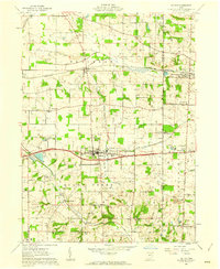
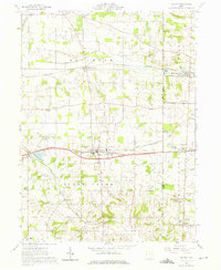
Editions of this 1961 Dalton Map
3 editions found
Other maps of this area

1901 · Massillon
USGS Topo · 1:62,500

1901 · Wooster
USGS Topo · 1:62,500

1903 · Massillon
USGS Topo · 1:62,500

1903 · Wooster
USGS Topo · 1:62,500

1914 · Navarre
USGS Topo · 1:62,500

1915 · Millersburg
USGS Topo · 1:62,500

1943 · Millersburg
USGS Topo · 1:62,500

1944 · Navarre
USGS Topo · 1:62,500

1951 · Canton
USGS Topo · 1:250,000

1953 · Canton
USGS Topo · 1:250,000