Loading...
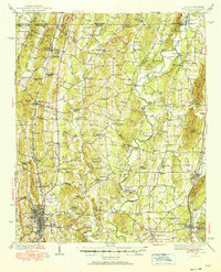
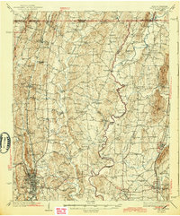
Loading map...1938 Map of Dalton
USGS Topo · Published 1938About this map
Dalton and Chatsworth serve as the primary hubs in this late 1930s survey of the North Georgia and Tennessee borderlands. The landscape is defined by the winding Conasauga River and its numerous crossings, including Harris Ford, Gudger Ford, and Mitchell Bridge. This era shows a rural economy deeply rooted in local landmarks like Praters Mill and Gregorys Mill, while the emergence of modern infrastructure is seen at the Aviation Field near the Whitfield County seat.
Find a feature on this map
109 named features on this map. Tap any name to fly to it.
Don’t see what you’re looking for? This feature index may not catch every label — zoom into the map to look around manually.
Map Details
Date Portrayed1938
Date Published1938
PublisherU.S. Geological Survey
Map TypeTopographic
Scale1:62,500
Physical Dimensions16.8 x 20.7 inches
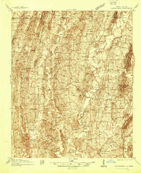
Editions of this 1938 Dalton Map
3 editions found
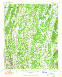
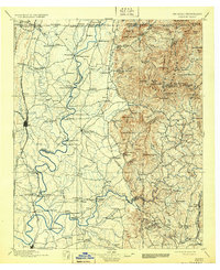
Historical Maps of Dalton Through Time
6 maps found


Featured Locations
Source Details
SourceU.S. Geological Survey
CopyrightPublic Domain