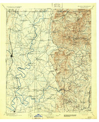
1938 Map of Dalton
USGS Topo · Published 1965About this map
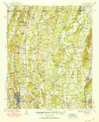
The Conasauga River and Coahulla Creek define the landscape of Whitfield and Murray Counties in the late 1930s, winding between the north-south corridors of Cedar Ridge and Sumac Ridge. This survey captures the region's agricultural and industrial infrastructure, from the historic Praters Mill on Prater Mill Creek to the Aviation Field and Fairground situated near the growing hub of Dalton. The map is particularly rich in rural institutions, documenting dozens of community anchors like Goodhope Ch, Deep Spring Sch, and the Murray County High Sch.
Find a feature on this map
112 named features on this map. Tap any name to fly to it.
Don’t see what you’re looking for? This feature index may not catch every label — zoom into the map to look around manually.
Map Details
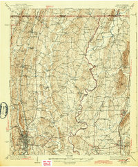
Editions of this 1938 Dalton Map
3 editions found
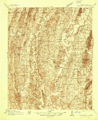
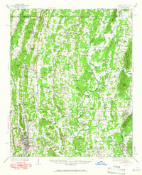
Historical Maps of Dalton Through Time
6 maps found