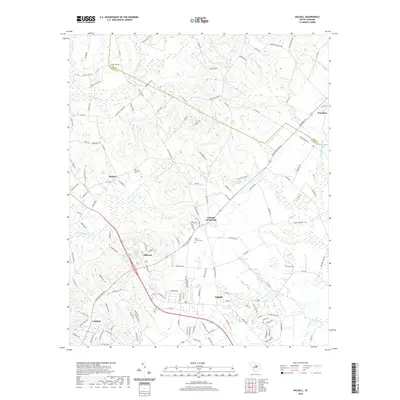
2020 Map of Dalzell
USGS Topo · Published 2020About this map
Dalzell and the surrounding rural communities of Sumter County are defined by a network of low-lying wetlands and drainage creeks that flow through the coastal plain. The landscape is marked by prominent water features such as Rocky Bluff Swamp and Green Swamp, which dictate the placement of local settlements and the winding paths of secondary roads. Small agricultural hubs like Borden, Gaillard Crossroads, and Catchall dot the area, connected by routes such as Catchall Rd and Daniel Taylor Ln.
Find a feature on this map
142 named features on this map. Tap any name to fly to it.
Don’t see what you’re looking for? This feature index may not catch every label — zoom into the map to look around manually.
Map Details
Editions of this 2020 Dalzell Map
This is the sole edition of this map. No revisions or reprints were ever made.
Other maps of this area

1938 · Hagood
USGS Topo · 1:62,500

1941 · Spartanburg
USGS Topo · 1:250,000

1942 · Camden
USGS Topo · 1:125,000

1943 · Eastover
USGS Topo · 1:62,500

1946 · Sumter
USGS Topo · 1:62,500

1953 · Camden South
USGS Topo · 1:24,000

1953 · Wedgefield
USGS Topo · 1:24,000

1953 · Rembert
USGS Topo · 1:24,000

1953 · Spartanburg
USGS Topo · 1:250,000

1954 · Augusta
USGS Topo · 1:250,000