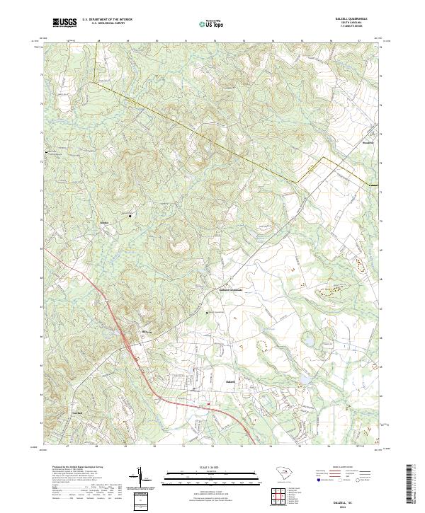
2024 Map of Dalzell
USGS Topo · Published 2024About this map
Dalzell and its neighboring communities in Sumter County are defined by a network of agricultural lands and wetlands that converge near the Lee County line. The landscape transitions from the higher grounds of Hillcrest and Gaillard Crossroads down into the low-lying reaches of Rocky Bluff Swamp and Green Swamp. These drainage patterns have historically dictated the placement of settlements and transport routes, such as the road to Woodrow and the corridor of Black River Rd.
Find a feature on this map
143 named features on this map. Tap any name to fly to it.
Don’t see what you’re looking for? This feature index may not catch every label — zoom into the map to look around manually.
Map Details
Editions of this 2024 Dalzell Map
This is the sole edition of this map. No revisions or reprints were ever made.
Other maps of this area

1938 · Hagood
USGS Topo · 1:62,500

1941 · Spartanburg
USGS Topo · 1:250,000

1942 · Camden
USGS Topo · 1:125,000

1943 · Eastover
USGS Topo · 1:62,500

1946 · Sumter
USGS Topo · 1:62,500

1953 · Camden South
USGS Topo · 1:24,000

1953 · Wedgefield
USGS Topo · 1:24,000

1953 · Rembert
USGS Topo · 1:24,000

1953 · Spartanburg
USGS Topo · 1:250,000

1954 · Augusta
USGS Topo · 1:250,000