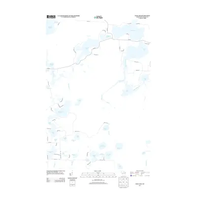
2013 Map of Dam Lake
USGS Topo · Published 2013About this map
Dam Lake and the interconnected waters of the Rainbow Flowage dominate this glacial landscape of Oneida County, reflecting a region defined by its dense concentration of lakes and wetlands. The map reveals a complex hydrographic network where Swamp Creek and Indian Creek weave between numerous named basins like N Nokomis Lake and Paradise Lake. This modern survey illustrates the residential and recreational development of the Northwoods, with a dense grid of local roads like Sand Lake Rd and Co Hwy-D providing access to seasonal homes and resorts clustered along the shorelines of Sand Lake and Muskellunge Lake.
Find a feature on this map
69 named features on this map. Tap any name to fly to it.
Don’t see what you’re looking for? This feature index may not catch every label — zoom into the map to look around manually.
Map Details
Editions of this 2013 Dam Lake Map
This is the sole edition of this map. No revisions or reprints were ever made.
Other maps of this area

1930 · Robbins
USGS Topo · 1:48,000

1938 · Minocqua
USGS Topo · 1:48,000

1938 · Robbins
USGS Topo · 1:48,000

1939 · Cassian
USGS Topo · 1:48,000

1940 · Rhinelander
USGS Topo · 1:48,000

1942 · Cassian
USGS Topo · 1:48,000

1945 · Robbins
USGS Topo · 1:48,000

1946 · Minocqua
USGS Topo · 1:48,000

1949 · Rhinelander
USGS Topo · 1:48,000

1949 · Minocqua
USGS Topo · 1:48,000