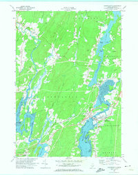
1970 Map of Damariscotta
USGS Topo · Published 1974About this map
Damariscotta Lake and its transition into the tidal Salt Bay dominate this coastal Maine landscape, where the Damariscotta River meets the historic settlements of Newcastle and Damariscotta. The map documents a complex network of waterways, including the winding Sheepscot River and Dyer River, which define the boundaries of towns like Alna and Edgecomb. The presence of the Maine Central railroad line illustrates the region's enduring transportation corridors.
Find a feature on this map
58 named features on this map. Tap any name to fly to it.
Don’t see what you’re looking for? This feature index may not catch every label — zoom into the map to look around manually.
Map Details
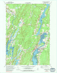
Editions of this 1970 Damariscotta Map
2 editions found
Other maps of this area

1893 · Wiscasset
USGS Topo · 1:62,500

1893 · Boothbay
USGS Topo · 1:62,500

1904 · Monhegan
USGS Topo · 1:62,500

1906 · Monhegan
USGS Topo · 1:62,500

1913 · Waldoboro
USGS Topo · 1:48,000

1915 · Waldoboro
USGS Topo · 1:62,500

1941 · Waldoboro
USGS Topo · 1:62,500

1941 · Boothbay
USGS Topo · 1:62,500

1943 · Boothbay
USGS Topo · 1:62,500

1944 · Wiscasset
USGS Topo · 1:62,500