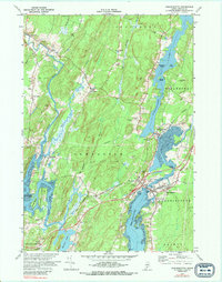
1970 Map of Damariscotta
USGS Topo · Published 1989About this map
The Sheepscot River and Damariscotta River define this coastal Maine landscape, where tidal flats and riverine corridors shaped the growth of historic Lincoln County villages. By the 1970s, the area retained a pattern of small settlements such as Head Tide, Alna, and Damariscotta Mills, many connected by the Maine Central railroad line. Local history is deeply embedded in the map's labels, from the St Patricks Ch and Castner Sch to the Alna Cem.
Find a feature on this map
52 named features on this map. Tap any name to fly to it.
Don’t see what you’re looking for? This feature index may not catch every label — zoom into the map to look around manually.
Map Details
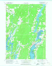
Editions of this 1970 Damariscotta Map
2 editions found
Other maps of this area

1893 · Wiscasset
USGS Topo · 1:62,500

1893 · Boothbay
USGS Topo · 1:62,500

1904 · Monhegan
USGS Topo · 1:62,500

1906 · Monhegan
USGS Topo · 1:62,500

1913 · Waldoboro
USGS Topo · 1:48,000

1915 · Waldoboro
USGS Topo · 1:62,500

1941 · Waldoboro
USGS Topo · 1:62,500

1941 · Boothbay
USGS Topo · 1:62,500

1943 · Boothbay
USGS Topo · 1:62,500

1944 · Wiscasset
USGS Topo · 1:62,500