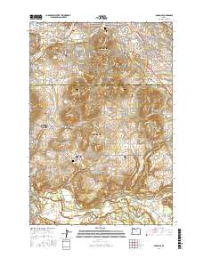
2017 Map of Damascus
USGS Topo · Published 2017About this map
Gresham and Damascus dominate this 2017 landscape, where the urban edge of the Portland region meets the foothills of the Cascades. The survey shows a transition from the structured street grids of Powell Valley and Happy Valley to the more winding rural routes further south. This area is punctuated by volcanic features like Gresham Butte and Hogan Butte, which stand above the drainages of Johnson Creek and Kelley Cr. Several prominent memorial sites, including Forest Lawn Memorial Park and the Gresham Pioneer Cem, provide important genealogical markers for the community. Along the southern border, the Clackamas River flows past Barton and Carver, where Bakers Bridge and Kipling Rock mark the river's path through the valley. The map also captures the distinct settlements of Boring and Hillsview as they appeared in the late twenty-tens.
Find a feature on this map
200 named features on this map. Tap any name to fly to it.
Don’t see what you’re looking for? This feature index may not catch every label — zoom into the map to look around manually.
Map Details
Editions of this 2017 Damascus Map
This is the sole edition of this map. No revisions or reprints were ever made.
Other maps of this area

1897 · Portland
USGS Topo · 1:62,500

1905 · Portland
USGS Topo · 1:62,500

1911 · Boring
USGS Topo · 1:48,000

1914 · Boring
USGS Topo · 1:62,500

1914 · Oregon City
USGS Topo · 1:62,500

1916 · Estacada
USGS Topo · 1:125,000

1918 · Troutdale
USGS Topo · 1:62,500

1934 · Troutdale
USGS Topo · 1:48,000

1939 · Oregon City
USGS Topo · 1:62,500

1940 · Boring
USGS Topo · 1:62,500