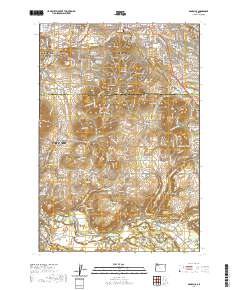
2020 Map of Damascus
USGS Topo · Published 2020About this map
The Clackamas River winds through the southern portion of this region, passing under the Barton Bridge and Bakers Bridge as it flows toward Carver. The landscape is defined by its transition from the urbanized edges of Portland and Gresham into the hilly terrain of the Clackamas valley, marked by prominent rises such as Gresham Butte, Jenne Butte, and Aemissegger Hill. For those researching local families, the map identifies several significant burial sites including the Damascus Pioneer Cem, Saint Joseph Cem, and Logan Pleasant View Cem. The survey illustrates the residential expansion of Happy Valley and the City of Damascus alongside established rural communities like Boring and Barton, connected by a network of thoroughfares such as SE Foster Rd and SE Springwater Rd.
Find a feature on this map
63 named features on this map. Tap any name to fly to it.
Don’t see what you’re looking for? This feature index may not catch every label — zoom into the map to look around manually.
Map Details
Editions of this 2020 Damascus Map
This is the sole edition of this map. No revisions or reprints were ever made.
Other maps of this area

1897 · Portland
USGS Topo · 1:62,500

1905 · Portland
USGS Topo · 1:62,500

1911 · Boring
USGS Topo · 1:48,000

1914 · Boring
USGS Topo · 1:62,500

1914 · Oregon City
USGS Topo · 1:62,500

1916 · Estacada
USGS Topo · 1:125,000

1918 · Troutdale
USGS Topo · 1:62,500

1934 · Troutdale
USGS Topo · 1:48,000

1939 · Oregon City
USGS Topo · 1:62,500

1940 · Boring
USGS Topo · 1:62,500