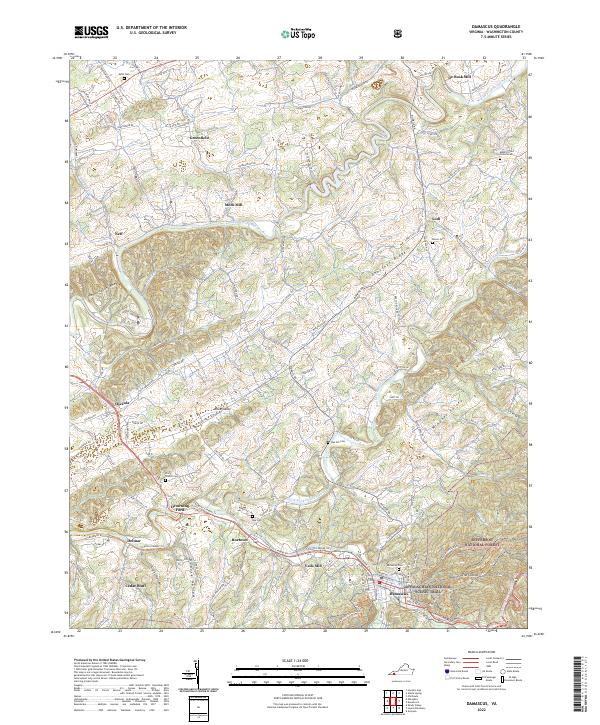
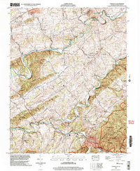
2022 Map of Damascus
USGS Topo · Published 2022About this map
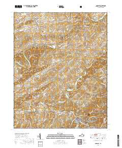
Damascus sits at the confluence of mountain waters, where the South Fork Holston River and Laurel Creek meet on the edge of the Jefferson National Forest. This landscape is defined by its deep agricultural and timber roots, illustrated by the numerous milling sites that gave rise to local communities, such as Mock Mill, De Busk Mill, and Vails Mill. The topography transitions from the high, wooded ridge of Chestnut Ridge down into the productive basin of Widener Valley, a pattern of settlement tied closely to the fertile gaps between the ranges.
Find a feature on this map
122 named features on this map. Tap any name to fly to it.
Don’t see what you’re looking for? This feature index may not catch every label — zoom into the map to look around manually.
Map Details
Editions of this 2022 Damascus Map
This is the sole edition of this map. No revisions or reprints were ever made.
Historical Maps of Damascus Through Time
9 maps found
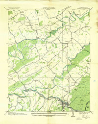
1935 Damascus
Washington County, VA
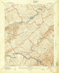
1938 Damascus
Washington County, VA
1939 Damascus
Washington County, VA
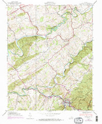
2002 Damascus
Washington County, VA
2011 Damascus
Washington County, VA
2013 Damascus
Washington County, VA
2016 Damascus
Washington County, VA
2019 Damascus
Washington County, VA
2022 Damascus
Washington County, VA