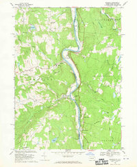
1968 Map of Damascus
USGS Topo · Published 1970About this map
The Delaware River winds through this river valley landscape at the Pennsylvania and New York border, serving as the central artery for the river towns of Damascus and Cochecton. The Erie Lackawanna railroad line follows the eastern bank through New York, passing through small stops like Nobody Station and Smith Switch. This late 1960s survey illustrates a region defined by its waterway and high ground, including Conkling Hill and Sunny Hill. Local community life is evidenced by the Township Sch and Hillside Cem in Damascus, while the New York Turnpike and the historic Corduroy Road suggest long-established transportation routes. Downriver, Milanville sits near the turbulence of Skinners Falls, where Calkins Creek joins the main river channel, marking a point of both geographic and social significance in Wayne Co.
Find a feature on this map
48 named features on this map. Tap any name to fly to it.
Don’t see what you’re looking for? This feature index may not catch every label — zoom into the map to look around manually.
Map Details
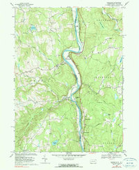
Editions of this 1968 Damascus Map
2 editions found
Other maps of this area

1920 · Long Eddy
USGS Topo · 1:62,500

1920 · Damascus
USGS Topo · 1:62,500

1921 · Long Eddy
USGS Topo · 1:48,000

1921 · Livingston Manor
USGS Topo · 1:62,500

1922 · White Lake
USGS Topo · 1:62,500

1923 · Damascus
USGS Topo · 1:62,500

1923 · Long Eddy
USGS Topo · 1:62,500

1923 · Livingston Manor
USGS Topo · 1:62,500

1942 · White Lake
USGS Topo · 1:62,500

1943 · Honesdale
USGS Topo · 1:125,000