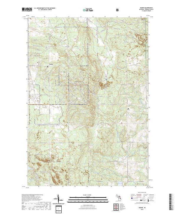
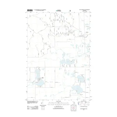
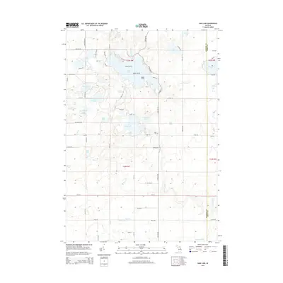
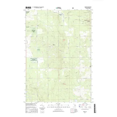
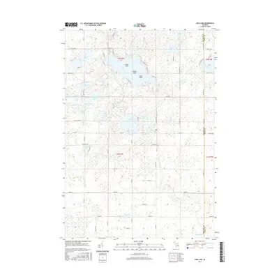
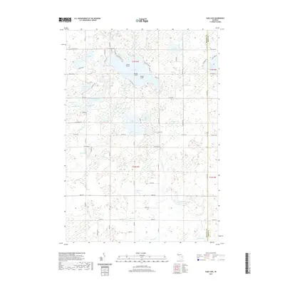
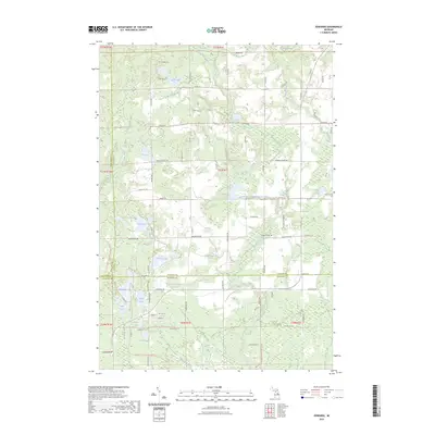
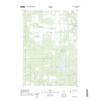
2023 Map of Damon
USGS Topo · Published 2023About this map
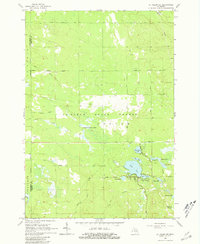
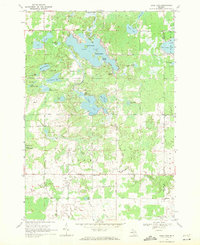
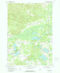
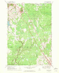
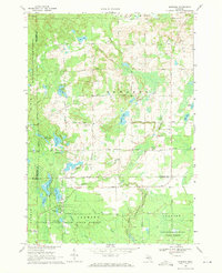
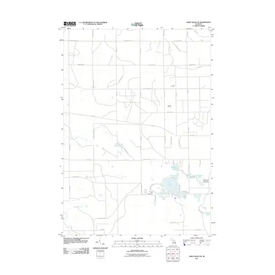
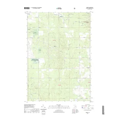
Huron National Forest and the Kirtlands Warbler Wildlife Management Area dominate this section of Ogemaw County, where conservation efforts and timber management define the landscape. The small settlement of Damon sits at the intersection of N Fairview Rd and Rose City Trl, serving as a central point for the surrounding network of forest roads and trails. The terrain transitions from the elevations of Wagon Wheel Hill down to low-lying areas like Tamarack Swamp and the headwaters of Prior Creek. Local history is preserved in several burial grounds, including Damon Cem, Tucker Cem, and Rose Cem, which are scattered throughout the township. Water features such as Prior Lake, Ambrose Lake, and Townline Lake provide focal points within the heavily wooded interior, while a complex grid of trails like Gilford Ranch Trl and Stoney Ridge Rd crisscross the managed forest lands.
Find a feature on this map
83 named features on this map. Tap any name to fly to it.
Don’t see what you’re looking for? This feature index may not catch every label — zoom into the map to look around manually.
Map Details
Editions of this 2023 Damon Map
This is the sole edition of this map. No revisions or reprints were ever made.
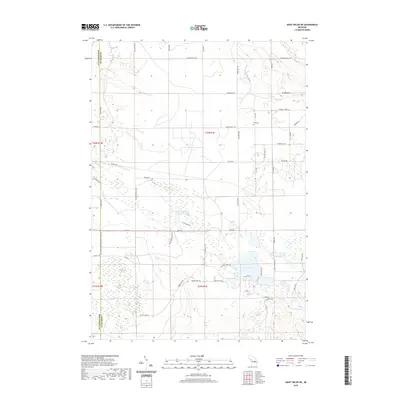
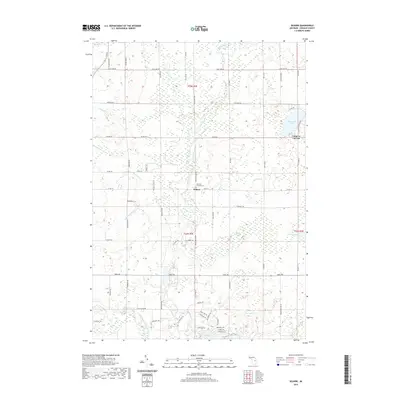
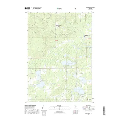
Historical Maps of Rose City Through Time
48 maps found
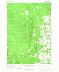
1965 Damon
Ogemaw County, MI
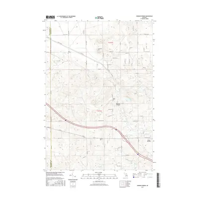
1965 Ogemaw Springs
Ogemaw County, MI
1965 Selkirk
Ogemaw County, MI
1965 St. Helen NE
Ogemaw County, MI
1968 Sage Lake
Ogemaw County, MI
1968 South Branch
Ogemaw County, MI
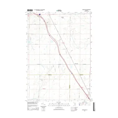
1968 Sterling NW
Ogemaw County, MI
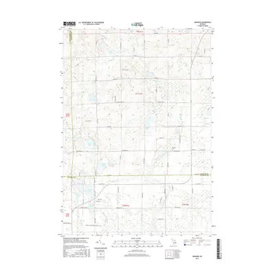
1969 Edwards
Ogemaw County, MI
2011 Edwards
Ogemaw County, MI
2011 Ogemaw Springs
Ogemaw County, MI
2011 Sage Lake
Ogemaw County, MI
2011 Saint Helen NE
Ogemaw County, MI
2011 Selkirk
Ogemaw County, MI
2011 Sterling NW
Ogemaw County, MI
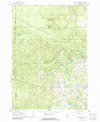
2012 Damon
Ogemaw County, MI
2012 South Branch
Ogemaw County, MI
2014 Damon
Ogemaw County, MI
2014 Edwards
Ogemaw County, MI
2014 Ogemaw Springs
Ogemaw County, MI
2014 Sage Lake
Ogemaw County, MI
2014 Saint Helen NE
Ogemaw County, MI
2014 Selkirk
Ogemaw County, MI
2014 South Branch
Ogemaw County, MI
2014 Sterling NW
Ogemaw County, MI
2017 Damon
Ogemaw County, MI
2017 Edwards
Ogemaw County, MI
2017 Ogemaw Springs
Ogemaw County, MI
2017 Sage Lake
Ogemaw County, MI
2017 Saint Helen NE
Ogemaw County, MI
2017 Selkirk
Ogemaw County, MI
2017 South Branch
Ogemaw County, MI
2017 Sterling NW
Ogemaw County, MI
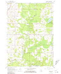
2019 Damon
Ogemaw County, MI
2019 Edwards
Ogemaw County, MI
2019 Ogemaw Springs
Ogemaw County, MI
2019 Sage Lake
Ogemaw County, MI
2019 Saint Helen NE
Ogemaw County, MI
2019 Selkirk
Ogemaw County, MI
2019 South Branch
Ogemaw County, MI
2019 Sterling NW
Ogemaw County, MI
2023 Damon
Ogemaw County, MI
2023 Edwards
Ogemaw County, MI
2023 Ogemaw Springs
Ogemaw County, MI
2023 Sage Lake
Ogemaw County, MI
2023 Saint Helen NE
Ogemaw County, MI
2023 Selkirk
Ogemaw County, MI
2023 South Branch
Ogemaw County, MI
2023 Sterling NW
Ogemaw County, MI